Kremlin Topo Map Montana
To zoom in, hover over the map of Kremlin
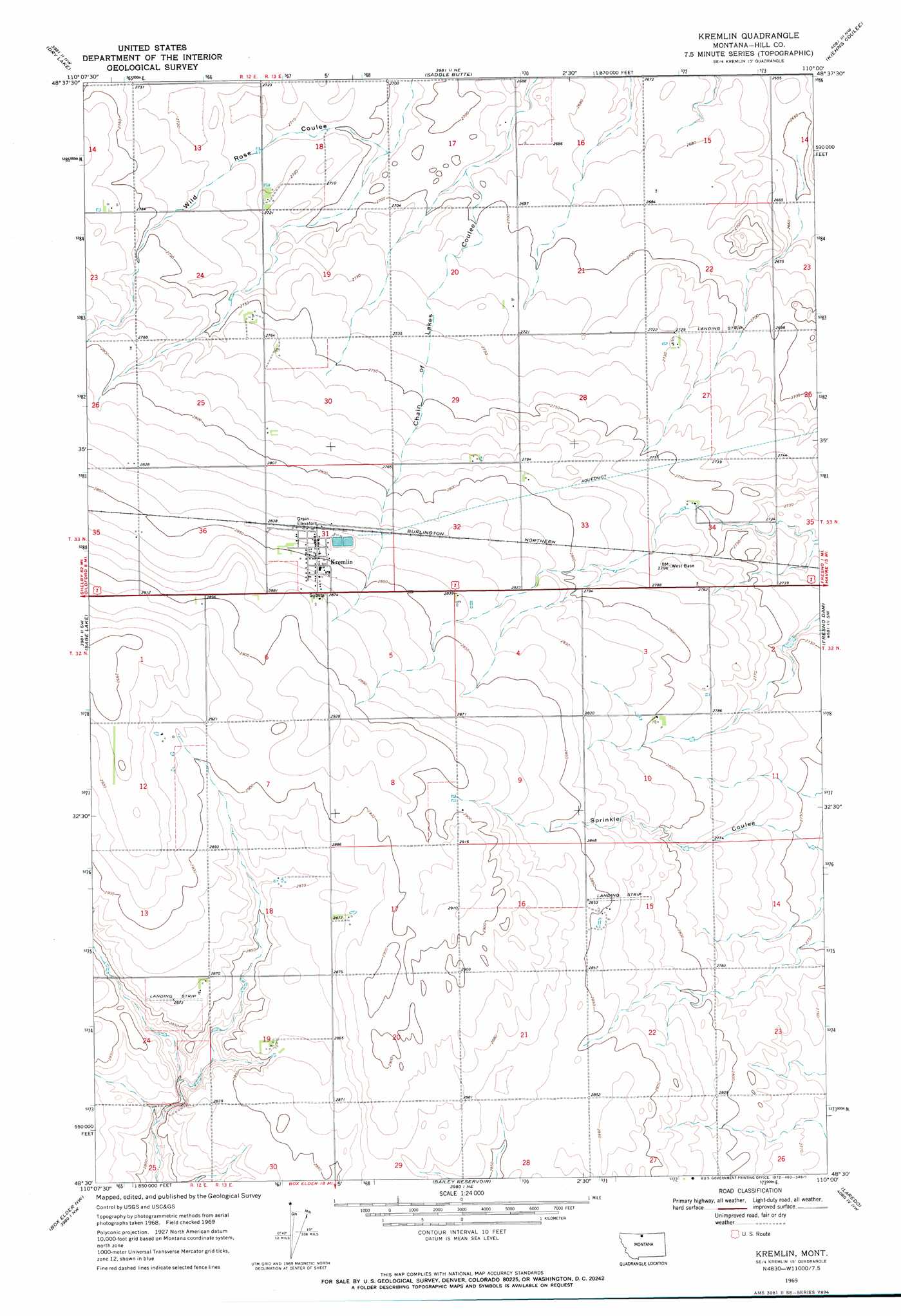
USGS Topo Quad 48110e1 - 1:24,000 scale
| Topo Map Name: | Kremlin |
| USGS Topo Quad ID: | 48110e1 |
| Print Size: | ca. 21 1/4" wide x 27" high |
| Southeast Coordinates: | 48.5° N latitude / 110° W longitude |
| Map Center Coordinates: | 48.5625° N latitude / 110.0625° W longitude |
| U.S. State: | MT |
| Filename: | o48110e1.jpg |
| Download Map JPG Image: | Kremlin topo map 1:24,000 scale |
| Map Type: | Topographic |
| Topo Series: | 7.5´ |
| Map Scale: | 1:24,000 |
| Source of Map Images: | United States Geological Survey (USGS) |
| Alternate Map Versions: |
Kremlin MT 1969, updated 1972 Download PDF Buy paper map Kremlin MT 2011 Download PDF Buy paper map Kremlin MT 2014 Download PDF Buy paper map |
1:24,000 Topo Quads surrounding Kremlin
Ninemile Coulee West |
Ninemile Coulee East |
Saint Johns |
Cottonwood |
Hilldale Colony |
Gildford Ne |
Dry Lake |
Saddle Butte |
Kiehns Coulee |
Quigley Coulee |
Gildford |
Sage Lake |
Kremlin |
Fresno Dam |
Herron Park |
Fourteenmile Coulee Ne |
Box Elder Nw |
Bailey Reservoir |
Laredo |
Laredo Ne |
Fourteenmile Coulee Se |
Lonesome Lake |
Box Elder |
Cowan Reservoir |
Rocky Boy |
> Back to 48110e1 at 1:100,000 scale
> Back to 48110a1 at 1:250,000 scale
> Back to U.S. Topo Maps home
Kremlin topo map: Gazetteer
Kremlin: Airports
Sorenson Airport elevation 876m 2874′Kremlin: Populated Places
Kremlin elevation 872m 2860′Kremlin: Post Offices
Kremlin Post Office elevation 872m 2860′Kremlin: Wells
32N12E12AACB01 Well elevation 888m 2913′32N13E19DBBB01 Well elevation 873m 2864′
Kremlin digital topo map on disk
Buy this Kremlin topo map showing relief, roads, GPS coordinates and other geographical features, as a high-resolution digital map file on DVD: