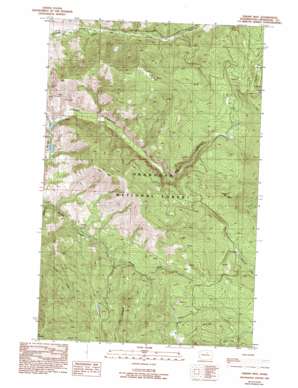
Thrapp Mountain Topo Map Washington
To zoom in, hover over the map of Thrapp Mountain
USGS Topo Quad 48119c8 - 1:24,000 scale
| Topo Map Name: | Thrapp Mountain |
| USGS Topo Quad ID: | 48119c8 |
| Print Size: | ca. 21 1/4" wide x 27" high |
| Southeast Coordinates: | 48.25° N latitude / 119.875° W longitude |
| Map Center Coordinates: | 48.3125° N latitude / 119.9375° W longitude |
| U.S. State: | WA |
| Filename: | o48119c8.jpg |
| Download Map JPG Image: | Thrapp Mountain topo map 1:24,000 scale |
| Map Type: | Topographic |
| Topo Series: | 7.5´ |
| Map Scale: | 1:24,000 |
| Source of Map Images: | United States Geological Survey (USGS) |
| Alternate Map Versions: |
Thrapp Mtn WA 1989, updated 1989 Download PDF Buy paper map Thrapp Mtn WA 1989, updated 1993 Download PDF Buy paper map Thrapp Mtn WA 2001, updated 2004 Download PDF Buy paper map Thrapp Mountain WA 2011 Download PDF Buy paper map Thrapp Mountain WA 2014 Download PDF Buy paper map |
| FStopo: | US Forest Service topo Thrapp Mountain is available: Download FStopo PDF Download FStopo TIF |
1:24,000 Topo Quads surrounding Thrapp Mountain
> Back to 48119a1 at 1:100,000 scale
> Back to 48118a1 at 1:250,000 scale
> Back to U.S. Topo Maps home
Thrapp Mountain topo map: Gazetteer
Thrapp Mountain: Dams
Wenner Lake Number Five Dam elevation 732m 2401′Wenner Lake Number Four Dam elevation 731m 2398′
Wenner Lake Number Three Dam elevation 744m 2440′
Wenner Lake Number Two Dam elevation 710m 2329′
Thrapp Mountain: Mines
Red Shirt Mine elevation 1030m 3379′Thrapp Mountain: Reservoirs
Wenner Lake Number Five elevation 732m 2401′Wenner Lakes elevation 730m 2395′
Wenner Lakes Number Three elevation 744m 2440′
Wenner Lakes Number Two elevation 710m 2329′
Thrapp Mountain: Ridges
Jay Ridge elevation 1183m 3881′Thrapp Mountain: Streams
Jack Creek elevation 896m 2939′South Fork Benson Creek elevation 833m 2732′
Yockey Creek elevation 632m 2073′
Thrapp Mountain: Summits
Finley Mountain elevation 1396m 4580′Pole Pick Mountain elevation 1442m 4730′
Thrapp Mountain elevation 1279m 4196′
Thrapp Mountain digital topo map on disk
Buy this Thrapp Mountain topo map showing relief, roads, GPS coordinates and other geographical features, as a high-resolution digital map file on DVD:


