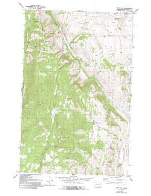
Ruby Hill Topo Map Washington
To zoom in, hover over the map of Ruby Hill
USGS Topo Quad 48119d6 - 1:24,000 scale
| Topo Map Name: | Ruby Hill |
| USGS Topo Quad ID: | 48119d6 |
| Print Size: | ca. 21 1/4" wide x 27" high |
| Southeast Coordinates: | 48.375° N latitude / 119.625° W longitude |
| Map Center Coordinates: | 48.4375° N latitude / 119.6875° W longitude |
| U.S. State: | WA |
| Filename: | o48119d6.jpg |
| Download Map JPG Image: | Ruby Hill topo map 1:24,000 scale |
| Map Type: | Topographic |
| Topo Series: | 7.5´ |
| Map Scale: | 1:24,000 |
| Source of Map Images: | United States Geological Survey (USGS) |
| Alternate Map Versions: |
Ruby Hill WA 1980, updated 1993 Download PDF Buy paper map Ruby Hill WA 2011 Download PDF Buy paper map Ruby Hill WA 2014 Download PDF Buy paper map |
1:24,000 Topo Quads surrounding Ruby Hill
> Back to 48119a1 at 1:100,000 scale
> Back to 48118a1 at 1:250,000 scale
> Back to U.S. Topo Maps home
Ruby Hill topo map: Gazetteer
Ruby Hill: Dams
Little Green Lake Dam elevation 490m 1607′Ruby Hill: Lakes
Buzzard Lake elevation 1026m 3366′Darling Lake elevation 768m 2519′
Green Lake elevation 476m 1561′
Reed Pond elevation 829m 2719′
Ruby Hill: Mines
Arlington Mine elevation 1258m 4127′First Thought Mine elevation 962m 3156′
Fourth of July Mine elevation 1378m 4520′
Houghs Mine elevation 922m 3024′
Last Chance Mine elevation 954m 3129′
Ruby Hill: Populated Places
Brown Lake elevation 816m 2677′Loop Loop (historical) elevation 1079m 3540′
Ruby elevation 563m 1847′
Ruby Hill: Reservoirs
Little Green Lake elevation 490m 1607′Ruby Hill: Ridges
Arlington Ridge elevation 1247m 4091′Neville Ridge elevation 1440m 4724′
Ruby Hill: Streams
Woolloomooloo Creek elevation 514m 1686′Ruby Hill: Summits
Reed Mountain elevation 1260m 4133′Ruby Hill elevation 1503m 4931′
Wright Mountain elevation 1313m 4307′
Ruby Hill digital topo map on disk
Buy this Ruby Hill topo map showing relief, roads, GPS coordinates and other geographical features, as a high-resolution digital map file on DVD:


