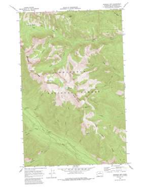
Midnight Mountain Topo Map Washington
To zoom in, hover over the map of Midnight Mountain
USGS Topo Quad 48120d4 - 1:24,000 scale
| Topo Map Name: | Midnight Mountain |
| USGS Topo Quad ID: | 48120d4 |
| Print Size: | ca. 21 1/4" wide x 27" high |
| Southeast Coordinates: | 48.375° N latitude / 120.375° W longitude |
| Map Center Coordinates: | 48.4375° N latitude / 120.4375° W longitude |
| U.S. State: | WA |
| Filename: | o48120d4.jpg |
| Download Map JPG Image: | Midnight Mountain topo map 1:24,000 scale |
| Map Type: | Topographic |
| Topo Series: | 7.5´ |
| Map Scale: | 1:24,000 |
| Source of Map Images: | United States Geological Survey (USGS) |
| Alternate Map Versions: |
Midnight Mtn. WA 1969, updated 1972 Download PDF Buy paper map Midnight Mtn. WA 1969, updated 1986 Download PDF Buy paper map Midnight Mountain WA 2002, updated 2006 Download PDF Buy paper map Midnight Mountain WA 2011 Download PDF Buy paper map Midnight Mountain WA 2014 Download PDF Buy paper map |
| FStopo: | US Forest Service topo Midnight Mountain is available: Download FStopo PDF Download FStopo TIF |
1:24,000 Topo Quads surrounding Midnight Mountain
> Back to 48120a1 at 1:100,000 scale
> Back to 48120a1 at 1:250,000 scale
> Back to U.S. Topo Maps home
Midnight Mountain topo map: Gazetteer
Midnight Mountain: Flats
Gardner Meadows elevation 1755m 5757′Poplar Flats elevation 910m 2985′
Midnight Mountain: Lakes
Little Slate Lake elevation 1987m 6519′Slate Lake elevation 2031m 6663′
Midnight Mountain: Ridges
Abernathy Ridge elevation 2392m 7847′Canyon Creek Ridge elevation 1484m 4868′
Midnight Mountain: Streams
Cook Creek elevation 793m 2601′Hubbard Creek elevation 1487m 4878′
Little Slate Creek elevation 813m 2667′
Reynolds Creek elevation 863m 2831′
South Fork Wolf Creek elevation 1376m 4514′
West Fork Little Bridge Creek elevation 1115m 3658′
Whistling Creek elevation 899m 2949′
Williams Creek elevation 828m 2716′
Midnight Mountain: Summits
Midnight Mountain elevation 2243m 7358′Milton Mountain elevation 2132m 6994′
Three A M Mountain elevation 2183m 7162′
Midnight Mountain digital topo map on disk
Buy this Midnight Mountain topo map showing relief, roads, GPS coordinates and other geographical features, as a high-resolution digital map file on DVD:


