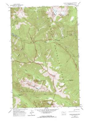
Crater Mountain Topo Map Washington
To zoom in, hover over the map of Crater Mountain
USGS Topo Quad 48120f8 - 1:24,000 scale
| Topo Map Name: | Crater Mountain |
| USGS Topo Quad ID: | 48120f8 |
| Print Size: | ca. 21 1/4" wide x 27" high |
| Southeast Coordinates: | 48.625° N latitude / 120.875° W longitude |
| Map Center Coordinates: | 48.6875° N latitude / 120.9375° W longitude |
| U.S. State: | WA |
| Filename: | o48120f8.jpg |
| Download Map JPG Image: | Crater Mountain topo map 1:24,000 scale |
| Map Type: | Topographic |
| Topo Series: | 7.5´ |
| Map Scale: | 1:24,000 |
| Source of Map Images: | United States Geological Survey (USGS) |
| Alternate Map Versions: |
Crater Mountain WA 1963, updated 1965 Download PDF Buy paper map Crater Mountain WA 1963, updated 1974 Download PDF Buy paper map Crater Mountain WA 2011 Download PDF Buy paper map Crater Mountain WA 2014 Download PDF Buy paper map |
| FStopo: | US Forest Service topo Crater Mountain is available: Download FStopo PDF Download FStopo TIF |
1:24,000 Topo Quads surrounding Crater Mountain
> Back to 48120e1 at 1:100,000 scale
> Back to 48120a1 at 1:250,000 scale
> Back to U.S. Topo Maps home
Crater Mountain topo map: Gazetteer
Crater Mountain: Flats
McMillan Park elevation 1620m 5314′Crater Mountain: Glaciers
Jerry Glacier elevation 2111m 6925′Crater Mountain: Ridges
Elija Ridge elevation 2355m 7726′Crater Mountain: Streams
Beebe Creek elevation 645m 2116′Canyon Creek elevation 575m 1886′
Crater Creek elevation 522m 1712′
Gabriel Creek elevation 962m 3156′
Granite Creek elevation 575m 1886′
Panther Creek elevation 509m 1669′
Pete Miller Creek elevation 632m 2073′
Ruby Creek elevation 490m 1607′
Stillwell Creek elevation 717m 2352′
Crater Mountain: Summits
Beebe Mountain elevation 2241m 7352′Crater Mountain elevation 2378m 7801′
Gabriel Peak elevation 2356m 7729′
Crater Mountain: Trails
Jack Mountain Trail elevation 1209m 3966′Crater Mountain digital topo map on disk
Buy this Crater Mountain topo map showing relief, roads, GPS coordinates and other geographical features, as a high-resolution digital map file on DVD:


