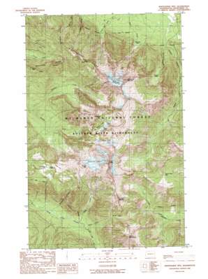
Whitehorse Mountain Topo Map Washington
To zoom in, hover over the map of Whitehorse Mountain
USGS Topo Quad 48121b6 - 1:24,000 scale
| Topo Map Name: | Whitehorse Mountain |
| USGS Topo Quad ID: | 48121b6 |
| Print Size: | ca. 21 1/4" wide x 27" high |
| Southeast Coordinates: | 48.125° N latitude / 121.625° W longitude |
| Map Center Coordinates: | 48.1875° N latitude / 121.6875° W longitude |
| U.S. State: | WA |
| Filename: | o48121b6.jpg |
| Download Map JPG Image: | Whitehorse Mountain topo map 1:24,000 scale |
| Map Type: | Topographic |
| Topo Series: | 7.5´ |
| Map Scale: | 1:24,000 |
| Source of Map Images: | United States Geological Survey (USGS) |
| Alternate Map Versions: |
Whitehorse Mtn. WA 1989, updated 1989 Download PDF Buy paper map Whitehorse Mountain WA 2011 Download PDF Buy paper map Whitehorse Mountain WA 2014 Download PDF Buy paper map |
| FStopo: | US Forest Service topo Whitehorse Mountain is available: Download FStopo PDF Download FStopo TIF |
1:24,000 Topo Quads surrounding Whitehorse Mountain
> Back to 48121a1 at 1:100,000 scale
> Back to 48120a1 at 1:250,000 scale
> Back to U.S. Topo Maps home
Whitehorse Mountain topo map: Gazetteer
Whitehorse Mountain: Basins
Sill Basin elevation 1157m 3795′Wellman Basin elevation 295m 967′
Whitehorse Mountain: Flats
Goat Flat elevation 1489m 4885′Whitehorse Mountain: Gaps
Lone Tree Pass elevation 1481m 4858′Squire Creek Pass elevation 1223m 4012′
Tin Can Gap elevation 1749m 5738′
Windy Pass elevation 1087m 3566′
Whitehorse Mountain: Glaciers
Queest-alb Glacier (not official) elevation 1631m 5351′So-Bahli-Alhi Glacier elevation 1900m 6233′
Whitehorse Mountain: Lakes
Bullon Lake elevation 1206m 3956′Mount Bullon Lakes elevation 1206m 3956′
Noble Lake elevation 1365m 4478′
Tucker Lake elevation 1206m 3956′
Whitehorse Mountain: Ridges
Whitehorse Ridge elevation 1473m 4832′Whitehorse Mountain: Streams
Baldy Creek elevation 551m 1807′Buckeye Creek elevation 233m 764′
Gerkman Creek elevation 510m 1673′
Sevenmile Creek elevation 513m 1683′
Windy Creek elevation 585m 1919′
Whitehorse Mountain: Summits
Big Bear Mountain elevation 1633m 5357′French Peak elevation 1334m 4376′
Liberty Mountain elevation 1657m 5436′
Mount Bullen elevation 1785m 5856′
Three Fingers elevation 1984m 6509′
Whitehorse Mountain elevation 2015m 6610′
Whitehorse Mountain digital topo map on disk
Buy this Whitehorse Mountain topo map showing relief, roads, GPS coordinates and other geographical features, as a high-resolution digital map file on DVD:


