Smith Island Topo Map Washington
To zoom in, hover over the map of Smith Island
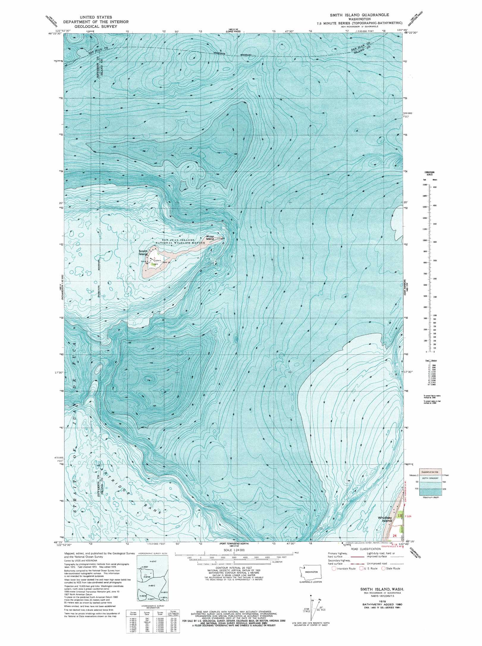
USGS Topo Quad 48122c7 - 1:24,000 scale
| Topo Map Name: | Smith Island |
| USGS Topo Quad ID: | 48122c7 |
| Print Size: | ca. 21 1/4" wide x 27" high |
| Southeast Coordinates: | 48.25° N latitude / 122.75° W longitude |
| Map Center Coordinates: | 48.3125° N latitude / 122.8125° W longitude |
| U.S. State: | WA |
| Filename: | o48122c7.jpg |
| Download Map JPG Image: | Smith Island topo map 1:24,000 scale |
| Map Type: | Topographic |
| Topo Series: | 7.5´ |
| Map Scale: | 1:24,000 |
| Source of Map Images: | United States Geological Survey (USGS) |
| Alternate Map Versions: |
Smith Island WA 1978, updated 1981 Download PDF Buy paper map Smith Island WA 1998, updated 2002 Download PDF Buy paper map Smith Island WA 2011 Download PDF Buy paper map Smith Island WA 2014 Download PDF Buy paper map |
1:24,000 Topo Quads surrounding Smith Island
Friday Harbor |
Shaw Island |
Blakely Island |
Cypress Island |
Anacortes North |
False Bay |
Richardson |
Lopez Pass |
Deception Pass |
Anacortes South |
Smith Island |
Oak Harbor |
Crescent Harbor |
||
Dungeness |
Port Townsend North |
Coupeville |
Camano |
|
Sequim |
Gardiner |
Port Townsend South |
Nordland |
Freeland |
> Back to 48122a1 at 1:100,000 scale
> Back to 48122a1 at 1:250,000 scale
> Back to U.S. Topo Maps home
Smith Island topo map: Gazetteer
Smith Island: Bars
Partridge Bank elevation 0m 0′Smith Island: Islands
Minor Island elevation 1m 3′Smith Island elevation 11m 36′
Smith Island digital topo map on disk
Buy this Smith Island topo map showing relief, roads, GPS coordinates and other geographical features, as a high-resolution digital map file on DVD: