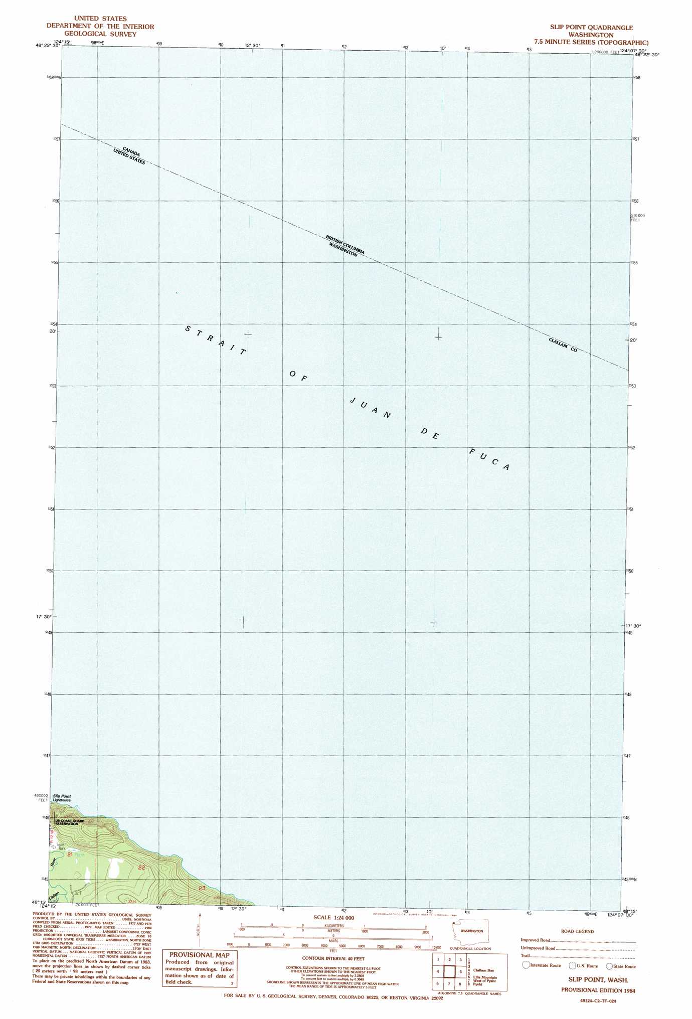
Slip Point Topo Map Washington
To zoom in, hover over the map of Slip Point
USGS Topo Quad 48124c2 - 1:24,000 scale
| Topo Map Name: | Slip Point |
| USGS Topo Quad ID: | 48124c2 |
| Print Size: | ca. 21 1/4" wide x 27" high |
| Southeast Coordinates: | 48.25° N latitude / 124.125° W longitude |
| Map Center Coordinates: | 48.3125° N latitude / 124.1875° W longitude |
| U.S. State: | WA |
| Filename: | o48124c2.jpg |
| Download Map JPG Image: | Slip Point topo map 1:24,000 scale |
| Map Type: | Topographic |
| Topo Series: | 7.5´ |
| Map Scale: | 1:24,000 |
| Source of Map Images: | United States Geological Survey (USGS) |
| Alternate Map Versions: |
Slip Point WA 1984, updated 1984 Download PDF Buy paper map Slip Point WA 2011 Download PDF Buy paper map Slip Point WA 2014 Download PDF Buy paper map |
1:24,000 Topo Quads surrounding Slip Point
Sekiu River |
Clallam Bay |
Slip Point |
||
Hoko Falls |
Ellis Mountain |
West Of Pysht |
Pysht |
Twin Rivers |
Gunderson Mountain |
Lake Pleasant |
Deadmans Hill |
Snider Peak |
Mount Muller |
> Back to 48124a1 at 1:100,000 scale
> Back to 48124a1 at 1:250,000 scale
> Back to U.S. Topo Maps home
Slip Point digital topo map on disk
Buy this Slip Point topo map showing relief, roads, GPS coordinates and other geographical features, as a high-resolution digital map file on DVD: