Old Town Creek Watershed Lake Number Thirty-one, AL
Interactive topo map of Old Town Creek Watershed Lake Number Thirty-one, AL
| Place Name: | Old Town Creek Watershed Lake Number Thirty-one |
| Feature Class: | Reservoir |
| US State: | AL |
| County: | Bullock |
| Latitude: | 32.17 |
| Longitude: | -85.78 |
| Elevation (meters): | 89 m |
| Elevation (feet): | 291′ |
| USGS Quad: | Thompson topo map |
| 7.5´ topo: | 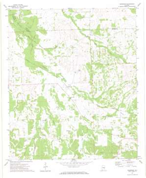 |
| State topo index: | AL topo index |
| Alternate map versions: | AL topographic maps Editions by year, direct download as GeoPDF. |
| 30´ x 60´ topo: | 1:100,000 scale map |
| 1° x 2° topo: | 1:250,000 scale map |