Garland City Oil and Gas Field, AR
Interactive topo map of Garland City Oil and Gas Field, AR
| Place Name: | Garland City Oil and Gas Field |
| Feature Class: | Oilfield |
| US State: | AR |
| County: | Miller |
| Latitude: | 33.39 |
| Longitude: | -93.78 |
| Elevation (meters): | 69 m |
| Elevation (feet): | 226′ |
| USGS Quad: | Fouke NE topo map |
| 7.5´ topo: | 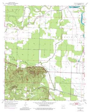 |
| State topo index: | AR topo index |
| Alternate map versions: | AR topographic maps Editions by year, direct download as GeoPDF. |
| 30´ x 60´ topo: | 1:100,000 scale map |
| 1° x 2° topo: | 1:250,000 scale map |