Eucalyptus Lateral Ten, CA
Interactive topo map of Eucalyptus Lateral Ten, CA
| Place Name: | Eucalyptus Lateral Ten |
| Feature Class: | Mine |
| US State: | CA |
| County: | San Luis Obispo |
| Latitude: | 35.63 |
| Longitude: | -121.06 |
| Elevation (meters): | 287 m |
| Elevation (feet): | 941′ |
| USGS Quad: | Pebblestone Shut-in topo map |
| 7.5´ topo: | 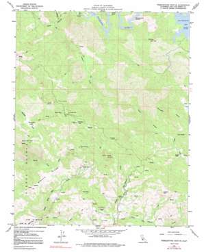 |
| State topo index: | CA topo index |
| Alternate map versions: | CA topographic maps Editions by year, direct download as GeoPDF. |
| 30´ x 60´ topo: | 1:100,000 scale map |
| 1° x 2° topo: | 1:250,000 scale map |