Twin Lakes Reservoir and Canal Company Tunnel Number 1, CO
Interactive topo map of Twin Lakes Reservoir and Canal Company Tunnel Number 1, CO
| Place Name: | Twin Lakes Reservoir and Canal Company Tunnel Number 1 |
| Feature Class: | Tunnel |
| US State: | CO |
| County: | Lake |
| Latitude: | 39.08 |
| Longitude: | -106.57 |
| Elevation (meters): | 4003 m |
| Elevation (feet): | 13133′ |
| USGS Quad: | Independence Pass topo map |
| 7.5´ topo: | 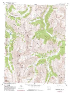 |
| State topo index: | CO topo index |
| Alternate map versions: | CO topographic maps Editions by year, direct download as GeoPDF. |
| 30´ x 60´ topo: | 1:100,000 scale map |
| 1° x 2° topo: | 1:250,000 scale map |