Olin Post Office (historical), IA
Interactive topo map of Olin Post Office (historical), IA
| Place Name: | Olin Post Office (historical) |
| Feature Class: | Post Office |
| US State: | IA |
| County: | Mitchell |
| Latitude: | 43.35 |
| Longitude: | -92.89 |
| Elevation (meters): | 362 m |
| Elevation (feet): | 1187′ |
| USGS Quad: | Osage SW topo map |
| 7.5´ topo: | 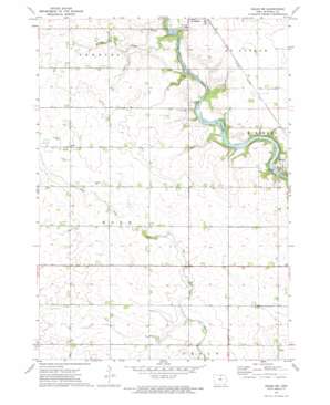 |
| State topo index: | IA topo index |
| Alternate map versions: | IA topographic maps Editions by year, direct download as GeoPDF. |
| 30´ x 60´ topo: | 1:100,000 scale map |
| 1° x 2° topo: | 1:250,000 scale map |