Shelton Branch, MO
Interactive topo map of Shelton Branch, MO
| Place Name: | Shelton Branch |
| Feature Class: | Stream |
| US State: | MO |
| County: | Knox |
| Latitude: | 40.03 |
| Longitude: | -92.3 |
| Elevation (meters): | 235 m |
| Elevation (feet): | 770′ |
| USGS Quad: | Locust Hill topo map |
| 7.5´ topo: | 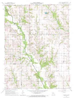 |
| State topo index: | MO topo index |
| Alternate map versions: | MO topographic maps Editions by year, direct download as GeoPDF. |
| 30´ x 60´ topo: | 1:100,000 scale map |
| 1° x 2° topo: | 1:250,000 scale map |