36N04E17CAA01_ Well, MT
Interactive topo map of 36N04E17CAA01_ Well, MT
| Place Name: | 36N04E17CAA01_ Well |
| Feature Class: | Well |
| US State: | MT |
| County: | Liberty |
| Latitude: | 48.87 |
| Longitude: | -111.24 |
| Elevation (meters): | 1272 m |
| Elevation (feet): | 4173′ |
| USGS Quad: | Hawley Hill topo map |
| 7.5´ topo: | 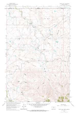 |
| State topo index: | MT topo index |
| Alternate map versions: | MT topographic maps Editions by year, direct download as GeoPDF. |
| 30´ x 60´ topo: | 1:100,000 scale map |
| 1° x 2° topo: | 1:250,000 scale map |