Adair Oil Field, TX
Interactive topo map of Adair Oil Field, TX
| Place Name: | Adair Oil Field |
| Feature Class: | Oilfield |
| US State: | TX |
| County: | Gaines |
| Latitude: | 32.96 |
| Longitude: | -102.29 |
| Elevation (meters): | 984 m |
| Elevation (feet): | 3228′ |
| USGS Quad: | Ashmore topo map |
| 7.5´ topo: | 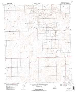 |
| State topo index: | TX topo index |
| Alternate map versions: | TX topographic maps Editions by year, direct download as GeoPDF. |
| 30´ x 60´ topo: | 1:100,000 scale map |
| 1° x 2° topo: | 1:250,000 scale map |