06N31E13CAAC01 Well, MT
Interactive topo map of 06N31E13CAAC01 Well, MT
| Place Name: | 06N31E13CAAC01 Well |
| Feature Class: | Well |
| US State: | MT |
| County: | Yellowstone |
| Latitude: | 46.26 |
| Longitude: | -107.79 |
| Elevation (meters): | 984 m |
| Elevation (feet): | 3228′ |
| USGS Quad: | Mailbox Hill topo map |
| 7.5´ topo: | 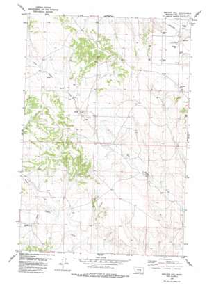 |
| State topo index: | MT topo index |
| Alternate map versions: | MT topographic maps Editions by year, direct download as GeoPDF. |
| 30´ x 60´ topo: | 1:100,000 scale map |
| 1° x 2° topo: | 1:250,000 scale map |