18N05W06ABDB01 Spring, MT
Interactive topo map of 18N05W06ABDB01 Spring, MT
| Place Name: | 18N05W06ABDB01 Spring |
| Feature Class: | Spring |
| US State: | MT |
| County: | Lewis and Clark |
| Latitude: | 47.34 |
| Longitude: | -112.28 |
| Elevation (meters): | 1344 m |
| Elevation (feet): | 4409′ |
| USGS Quad: | Krone Ranch topo map |
| 7.5´ topo: | 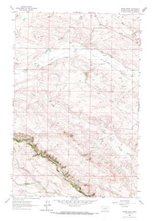 |
| State topo index: | MT topo index |
| Alternate map versions: | MT topographic maps Editions by year, direct download as GeoPDF. |
| 30´ x 60´ topo: | 1:100,000 scale map |
| 1° x 2° topo: | 1:250,000 scale map |