High Tor Wildlife Management Area, NY
Interactive topo map of High Tor Wildlife Management Area, NY
| Place Name: | High Tor Wildlife Management Area |
| Feature Class: | Park |
| US State: | NY |
| County: | Yates |
| Latitude: | 42.61 |
| Longitude: | -77.35 |
| Elevation (meters): | 475 m |
| Elevation (feet): | 1558′ |
| USGS Quad: | Prattsburg topo map |
| 7.5´ topo: | 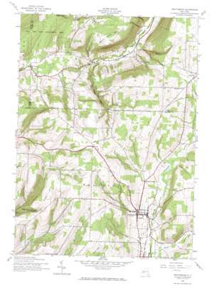 |
| State topo index: | NY topo index |
| Alternate map versions: | NY topographic maps Editions by year, direct download as GeoPDF. |
| 30´ x 60´ topo: | 1:100,000 scale map |
| 1° x 2° topo: | 1:250,000 scale map |