Greens Lake Debris Basin Number Three Dam, UT
Interactive topo map of Greens Lake Debris Basin Number Three Dam, UT
| Place Name: | Greens Lake Debris Basin Number Three Dam |
| Feature Class: | Dam |
| US State: | UT |
| County: | Iron |
| Latitude: | 39.64 |
| Longitude: | -113.06 |
| Elevation (meters): | 1601 m |
| Elevation (feet): | 5252′ |
| USGS Quad: | Topaz Mountain East topo map |
| 7.5´ topo: | 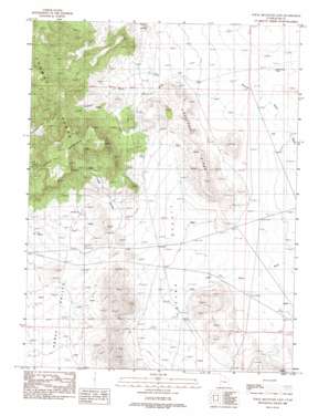 |
| State topo index: | UT topo index |
| Alternate map versions: | UT topographic maps Editions by year, direct download as GeoPDF. |
| 30´ x 60´ topo: | 1:100,000 scale map |
| 1° x 2° topo: | 1:250,000 scale map |