Rock Check IV-13 Dam, WA
Interactive topo map of Rock Check IV-13 Dam, WA
| Place Name: | Rock Check IV-13 Dam |
| Feature Class: | Dam |
| US State: | WA |
| County: | Adams |
| Latitude: | 46.87 |
| Longitude: | -119.25 |
| Elevation (meters): | 247 m |
| Elevation (feet): | 810′ |
| USGS Quad: | O'Sullivan Dam topo map |
| 7.5´ topo: | 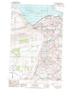 |
| State topo index: | WA topo index |
| Alternate map versions: | WA topographic maps Editions by year, direct download as GeoPDF. |
| 30´ x 60´ topo: | 1:100,000 scale map |
| 1° x 2° topo: | 1:250,000 scale map |