View & Shop North America Maps
USA topo Canada topo Store
Online USA Maps

USA Topo Maps

Online Canada Maps

Canada Topo Maps

Wall Maps

Nautical Charts

Digital Maps

NRCAN Topo Maps

Atlases

Trail Maps

Folded Maps

USGS Topo Maps
.")
Online Maps of USA
Search YellowMaps World Atlas for the US map that you need by browsing the interactive map of North America, or using the search box to find US maps.
Our US map collection covers all US states with a variety of detailed, printable maps, including blank outline maps, raod maps, general reference maps, and more.
- Florida Map Finder
- Political maps of selected us states
- Collection of even more us state maps
Know your states?
We suggest you play a game to test your geographical knowledge: Guess the full names and state abbreviations of all 50 states, and 10 provinces, then check on the interactive map if you were right!


Online Maps of Canada
Search YellowMaps World Atlas for the Canadian province map that you need.
- Canada province maps
- Canada Topo Maps The Canadian Topographic Map Source
- Map of Vancouver, BC
- Map of Atlantic Provinces
Know your geography?
Did you imagine that Halifax, NS, is further south than Seattle, WA? Did you know that Quebec is the northernmost Canadian province? Can you list the US states by rank of highest population?


United States Topo Maps
Download US Topo Maps as digital files, or buy topo paper prints. Find over 50,000 topographic maps at various scales covering the entire US American land mass.
Available map formats:
- Digital map download
- Digital images on DVD
- High-quality paper prints
Print-on-demand topographic paper maps are available on 7 print materials:
- Regular Paper
- Polypropylene (waterproof)
- Tyvek® (waterproof)
- Photo Print
- Hahnemühle Photo Rag®
- Stretched Canvas
- Framed Photo Print


Download Canadian Topo Maps
 Canoeing Maps
Download Canada Topo Maps as jpeg images. Find close to 1,000 topo maps at 250,000 scale and more than 12,000 topographic maps at 1:50,000 scale covering the entire Canadian land mass. These maps are essential for planning canoe expeditions.
 Maps for Hiking
Enjoy free topographic maps of Canada, a collection of topographical maps that show elevation and trail information: great for hiking, backpacking, and general traveling and exploring in the outdoors.
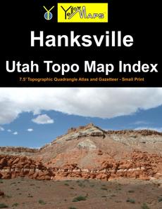
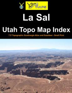
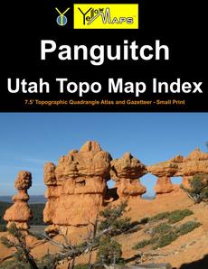
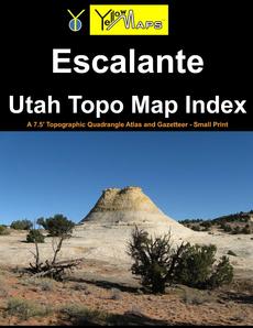
Utah Topo Map Index atlases
Get our printed paperback atlases of southeastern Utah, each containing 32 historical USGS topographic 7.5´ quadrangle maps. The books also include a gazetteer of geographical names as well as landscape photographs by publisher YellowMaps.