Map Center of Stricklett topo map
Interactive topo map of Map Center of Stricklett, KY
| Place Name: | Map Center of Stricklett |
| Feature Class: | Topo Map |
| Country: | United States |
| Latitude: | 38.4375 |
| Longitude: | -83.4375 |
| USGS Quad: | Stricklett topo map |
| 7.5´ topo: | 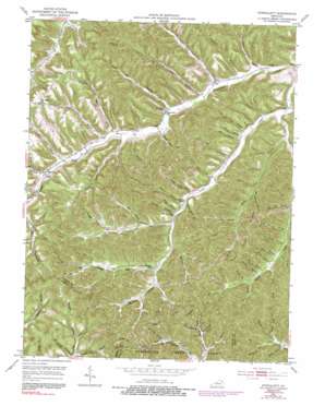 |
| State topo index: | KY topo index |
| Alternate map versions: | KY topographic maps Editions by year, direct download as GeoPDF. |
| 30´ x 60´ topo: | 1:100,000 scale map |
| 1° x 2° topo: | 1:250,000 scale map |