Granada - Fort Union Route of Santa Fe National Historic Trail, CO
Interactive topo map of Granada - Fort Union Route of Santa Fe National Historic Trail, CO
| Place Name: | Granada - Fort Union Route of Santa Fe National Historic Trail |
| Feature Class: | Trail |
| US State: | CO |
| County: | Prowers |
| Latitude: | 37.48 |
| Longitude: | -102.98 |
| Elevation (meters): | 1440 m |
| Elevation (feet): | 4724′ |
| USGS Quad: | Pritchett NW topo map |
| 7.5´ topo: | 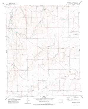 |
| State topo index: | CO topo index |
| Alternate map versions: | CO topographic maps Editions by year, direct download as GeoPDF. |
| 30´ x 60´ topo: | 1:100,000 scale map |
| 1° x 2° topo: | 1:250,000 scale map |