Kentucky Dam Boat Basin, KY
Interactive topo map of Kentucky Dam Boat Basin, KY
| Place Name: | Kentucky Dam Boat Basin |
| Feature Class: | Harbor |
| US State: | KY |
| County: | Marshall |
| Latitude: | 37.01 |
| Longitude: | -88.27 |
| Elevation (meters): | 96 m |
| Elevation (feet): | 314′ |
| USGS Quad: | Calvert City topo map |
| 7.5´ topo: | 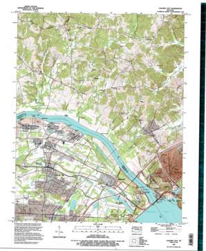 |
| State topo index: | KY topo index |
| Alternate map versions: | KY topographic maps Editions by year, direct download as GeoPDF. |
| 30´ x 60´ topo: | 1:100,000 scale map |
| 1° x 2° topo: | 1:250,000 scale map |