Napoleon Airport, MI
Interactive topo map of Napoleon Airport, MI
| Place Name: | Napoleon Airport |
| Feature Class: | Airport |
| US State: | MI |
| County: | Jackson |
| Latitude: | 42.17 |
| Longitude: | -84.25 |
| Elevation (meters): | 294 m |
| Elevation (feet): | 964′ |
| USGS Quad: | Michigan Center topo map |
| 7.5´ topo: | 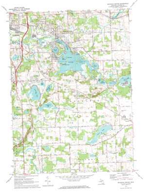 |
| State topo index: | MI topo index |
| Alternate map versions: | MI topographic maps Editions by year, direct download as GeoPDF. |
| 30´ x 60´ topo: | 1:100,000 scale map |
| 1° x 2° topo: | 1:250,000 scale map |