Lapeer and Sanilac Drain, MI
Interactive topo map of Lapeer and Sanilac Drain, MI
| Place Name: | Lapeer and Sanilac Drain |
| Feature Class: | Canal |
| US State: | MI |
| County: | Sanilac |
| Latitude: | 43.21 |
| Longitude: | -82.97 |
| Elevation (meters): | 246 m |
| Elevation (feet): | 807′ |
| USGS Quad: | Brown City topo map |
| 7.5´ topo: | 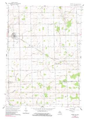 |
| State topo index: | MI topo index |
| Alternate map versions: | MI topographic maps Editions by year, direct download as GeoPDF. |
| 30´ x 60´ topo: | 1:100,000 scale map |
| 1° x 2° topo: | 1:250,000 scale map |