Lewis and Clark Camp Site: July 27 1804 Historical Marker, NE
Interactive topo map of Lewis and Clark Camp Site: July 27 1804 Historical Marker, NE
| Place Name: | Lewis and Clark Camp Site: July 27 1804 Historical Marker |
| Feature Class: | Park |
| US State: | NE |
| County: | Douglas |
| Latitude: | 41.25 |
| Longitude: | -95.93 |
| Elevation (meters): | 316 m |
| Elevation (feet): | 1036′ |
| USGS Quad: | Omaha North topo map |
| 7.5´ topo: | 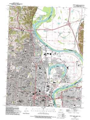 |
| State topo index: | NE topo index |
| Alternate map versions: | NE topographic maps Editions by year, direct download as GeoPDF. |
| 30´ x 60´ topo: | 1:100,000 scale map |
| 1° x 2° topo: | 1:250,000 scale map |