Ah-shi-sle-pah Wilderness Study Area, NM
Interactive topo map of Ah-shi-sle-pah Wilderness Study Area, NM
| Place Name: | Ah-shi-sle-pah Wilderness Study Area |
| Feature Class: | Park |
| US State: | NM |
| County: | San Juan |
| Latitude: | 36.16 |
| Longitude: | -107.91 |
| Elevation (meters): | 1909 m |
| Elevation (feet): | 6263′ |
| USGS Quad: | Pueblo Bonito NW topo map |
| 7.5´ topo: | 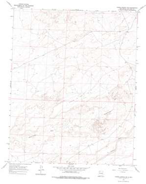 |
| State topo index: | NM topo index |
| Alternate map versions: | NM topographic maps Editions by year, direct download as GeoPDF. |
| 30´ x 60´ topo: | 1:100,000 scale map |
| 1° x 2° topo: | 1:250,000 scale map |