Manti-La Sal National Forest - Manti Division, UT
Interactive topo map of Manti-La Sal National Forest - Manti Division, UT
| Place Name: | Manti-La Sal National Forest - Manti Division |
| Feature Class: | Forest |
| US State: | UT |
| County: | Utah |
| Latitude: | 39.42 |
| Longitude: | -111.17 |
| Elevation (meters): | 2532 m |
| Elevation (feet): | 8307′ |
| USGS Quad: | Rilda Canyon topo map |
| 7.5´ topo: | 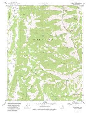 |
| State topo index: | UT topo index |
| Alternate map versions: | UT topographic maps Editions by year, direct download as GeoPDF. |
| 30´ x 60´ topo: | 1:100,000 scale map |
| 1° x 2° topo: | 1:250,000 scale map |