Nineteen hundred and sixteen Cut-off, AR
Interactive topo map of Nineteen hundred and sixteen Cut-off, AR
| Place Name: | Nineteen hundred and sixteen Cut-off |
| Feature Class: | Lake |
| US State: | AR |
| County: | Hempstead |
| Latitude: | 33.51 |
| Longitude: | -93.71 |
| Elevation (meters): | 73 m |
| Elevation (feet): | 239′ |
| USGS Quad: | Spring Hill topo map |
| 7.5´ topo: | 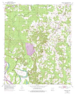 |
| State topo index: | AR topo index |
| Alternate map versions: | AR topographic maps Editions by year, direct download as GeoPDF. |
| 30´ x 60´ topo: | 1:100,000 scale map |
| 1° x 2° topo: | 1:250,000 scale map |