Upper Steer Pasture Tank, NM
Interactive topo map of Upper Steer Pasture Tank, NM
| Place Name: | Upper Steer Pasture Tank |
| Feature Class: | Reservoir |
| US State: | NM |
| County: | Lincoln |
| Latitude: | 33.39 |
| Longitude: | -106.14 |
| Elevation (meters): | 1341 m |
| Elevation (feet): | 4399′ |
| USGS Quad: | Three Rivers NW topo map |
| 7.5´ topo: | 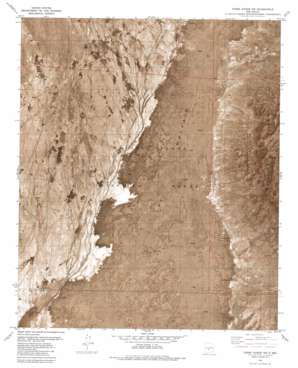 |
| State topo index: | NM topo index |
| Alternate map versions: | NM topographic maps Editions by year, direct download as GeoPDF. |
| 30´ x 60´ topo: | 1:100,000 scale map |
| 1° x 2° topo: | 1:250,000 scale map |