Pat O'Hara Gypsum Quarry Number One, WY
Interactive topo map of Pat O'Hara Gypsum Quarry Number One, WY
| Place Name: | Pat O'Hara Gypsum Quarry Number One |
| Feature Class: | Mine |
| US State: | WY |
| County: | Park |
| Latitude: | 44.44 |
| Longitude: | -109.02 |
| Elevation (meters): | 1626 m |
| Elevation (feet): | 5334′ |
| USGS Quad: | Indian Pass topo map |
| 7.5´ topo: | 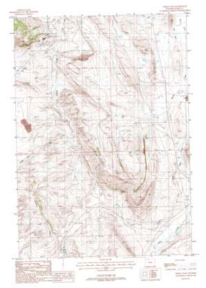 |
| State topo index: | WY topo index |
| Alternate map versions: | WY topographic maps Editions by year, direct download as GeoPDF. |
| 30´ x 60´ topo: | 1:100,000 scale map |
| 1° x 2° topo: | 1:250,000 scale map |