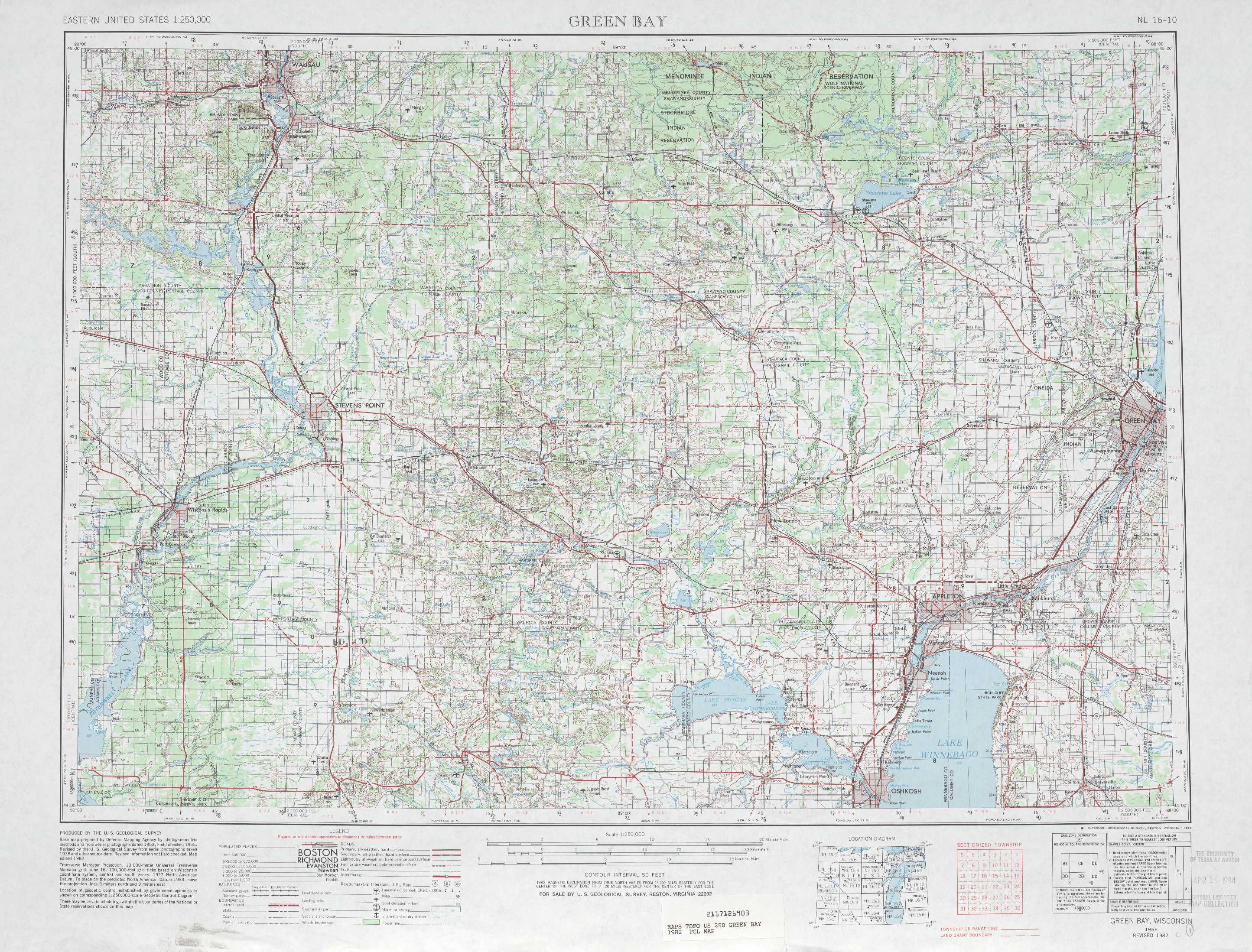
Green Bay Topo Map Wisconsin
To zoom in, hover over the map of Green Bay
USGS Topo Map 44088a1 - 1:250,000 scale
| Topo Map Name: | Green Bay |
| USGS Topo Quad ID: | 44088a1 |
| Print Size: | ca. 32" wide x 22 1/2" high |
| Southeast Coordinates: | 44° N latitude / 88° W longitude |
| Map Center Coordinates: | 44.5° N latitude / 89° W longitude |
| U.S. State: | WI |
| Filename: | 44088a1.jpg |
| Download Map JPG Image: | Green Bay topo map 1:250,000 scale |
| Map Type: | Topographic |
| Topo Series: | 1°x2° |
| Map Scale: | 1:250,000 |
| Source of Map Images: | United States Geological Survey (USGS) |
| Alternate Map Versions: |
Green Bay WI 1955, updated 1968 Download PDF Buy paper map Green Bay WI 1955, updated 1983 Download PDF Buy paper map |
1:250,000 Topos surrounding Green Bay
Rice Lake WI |
Iron Mtn WI, MI |
Escanaba MI, WI |
Eau Clare WI, MN |
Green Bay WI |
Manitowoc WI, MI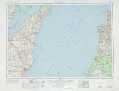 |
La Crosse WI, IA, MN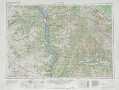 |
Madison WI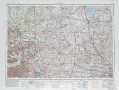 |
Milwaukee MI, WI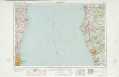 |
> Back to U.S. Topo Maps home
1:100,000 Topo Maps covered by the spatial extent of this 250k map (Green Bay)
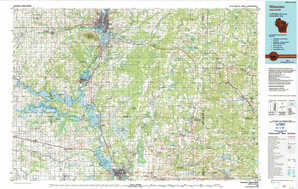
Wausau WI |
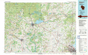
Shawano WI |
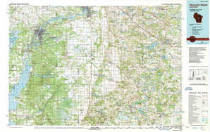
Wisconsin Rapids WI |
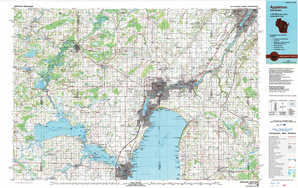
Appleton WI |