Tam Anne Topo Map Texas
To zoom in, hover over the map of Tam Anne
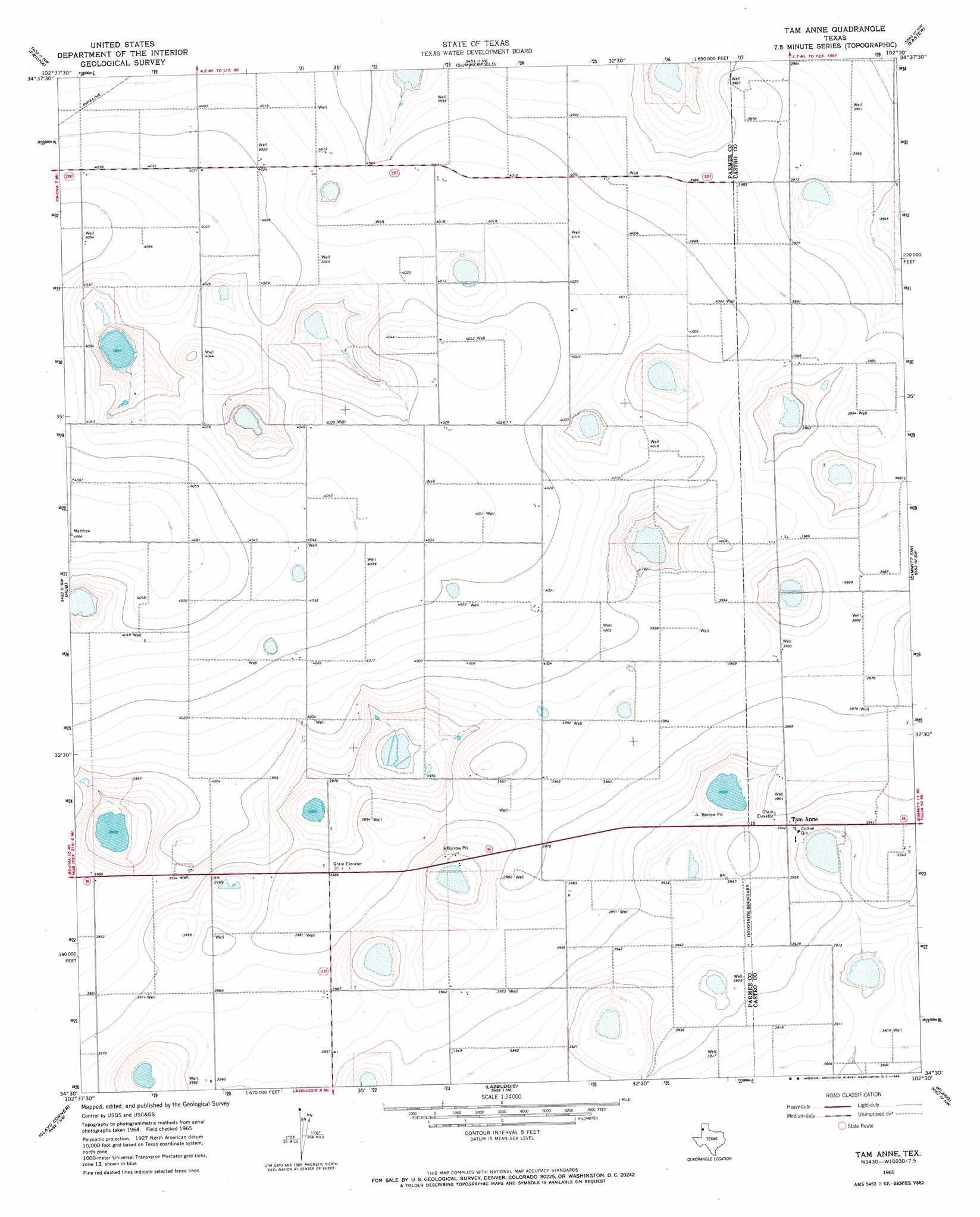
USGS Topo Quad 34102e5 - 1:24,000 scale
| Topo Map Name: | Tam Anne |
| USGS Topo Quad ID: | 34102e5 |
| Print Size: | ca. 21 1/4" wide x 27" high |
| Southeast Coordinates: | 34.5° N latitude / 102.5° W longitude |
| Map Center Coordinates: | 34.5625° N latitude / 102.5625° W longitude |
| U.S. State: | TX |
| Filename: | o34102e5.jpg |
| Download Map JPG Image: | Tam Anne topo map 1:24,000 scale |
| Map Type: | Topographic |
| Topo Series: | 7.5´ |
| Map Scale: | 1:24,000 |
| Source of Map Images: | United States Geological Survey (USGS) |
| Alternate Map Versions: |
Tam Anne TX 1965, updated 1968 Download PDF Buy paper map Tam Anne TX 2010 Download PDF Buy paper map Tam Anne TX 2012 Download PDF Buy paper map Tam Anne TX 2016 Download PDF Buy paper map |
1:24,000 Topo Quads surrounding Tam Anne
Bootleg |
Chalk Hill |
Westway |
Hereford |
Hereford Se |
Twin Lakes |
Friona |
Summerfield |
Easter |
Jumbo |
Parmerton |
Hub |
Tam Anne |
Dimmit Sw |
Dimmitt |
Lariat Ne |
Clays Corner |
Lazbuddie |
Flagg |
Dodd Ne |
Progress |
Lazbuddie Sw |
Lazbuddie Se |
Dodd |
Dodd Se |
> Back to 34102e1 at 1:100,000 scale
> Back to 34102a1 at 1:250,000 scale
> Back to U.S. Topo Maps home
Tam Anne digital topo map on disk
Buy this Tam Anne topo map showing relief, roads, GPS coordinates and other geographical features, as a high-resolution digital map file on DVD: