Woodlin School Topo Map Colorado
To zoom in, hover over the map of Woodlin School
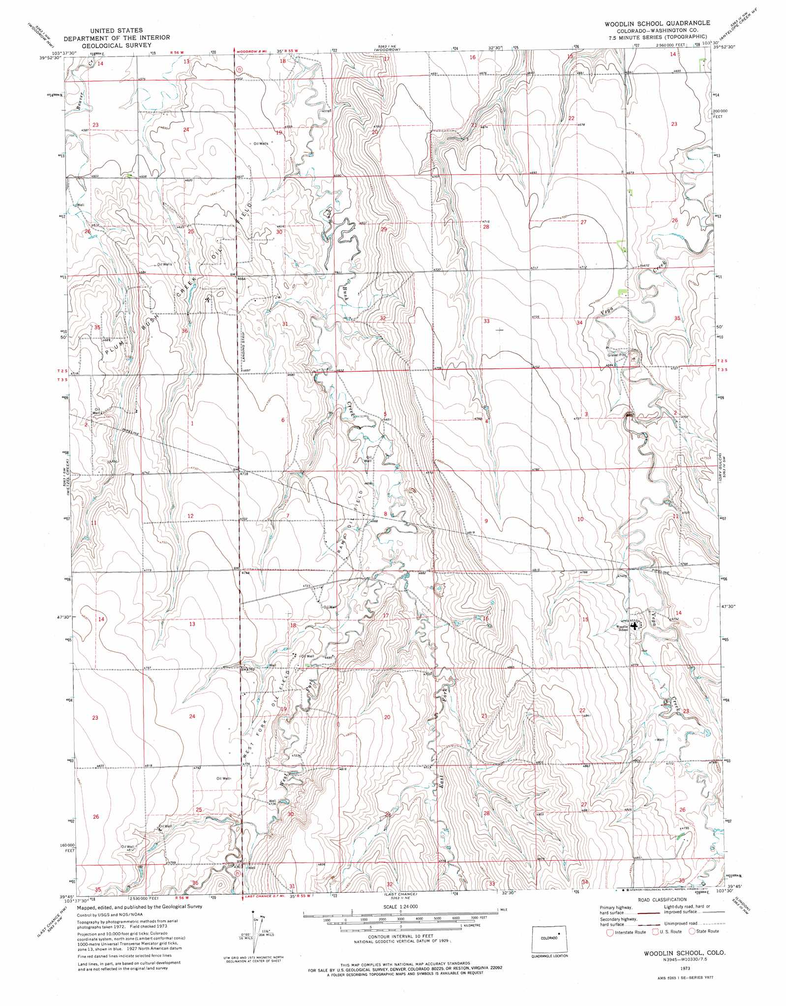
USGS Topo Quad 39103g5 - 1:24,000 scale
| Topo Map Name: | Woodlin School |
| USGS Topo Quad ID: | 39103g5 |
| Print Size: | ca. 21 1/4" wide x 27" high |
| Southeast Coordinates: | 39.75° N latitude / 103.5° W longitude |
| Map Center Coordinates: | 39.8125° N latitude / 103.5625° W longitude |
| U.S. State: | CO |
| Filename: | o39103g5.jpg |
| Download Map JPG Image: | Woodlin School topo map 1:24,000 scale |
| Map Type: | Topographic |
| Topo Series: | 7.5´ |
| Map Scale: | 1:24,000 |
| Source of Map Images: | United States Geological Survey (USGS) |
| Alternate Map Versions: |
Woodlin School CO 1973, updated 1977 Download PDF Buy paper map Woodlin School CO 2010 Download PDF Buy paper map Woodlin School CO 2013 Download PDF Buy paper map Woodlin School CO 2016 Download PDF Buy paper map |
1:24,000 Topo Quads surrounding Woodlin School
Vallery Se |
Huey Ranch |
Gary |
Rago |
Pinneo Se |
Shamrock |
Woodrow Nw |
Woodrow |
Antelope Creek West |
Antelope Creek East |
Shamrock Se |
Wetzel Creek |
Woodlin School |
Dry Gulch |
Antelope Creek Se |
Cottonwood Valley North |
Last Chance Nw |
Last Chance |
Lindon |
Lindon Ne |
Cottonwood Valley South |
Last Chance Sw |
Lusto Springs |
Lindon Sw |
Shaw |
> Back to 39103e1 at 1:100,000 scale
> Back to 39102a1 at 1:250,000 scale
> Back to U.S. Topo Maps home
Woodlin School topo map: Gazetteer
Woodlin School: Airports
Chenoweth Airport elevation 1430m 4691′Woodlin School: Oilfields
Plumb Bush Creek Oil Field elevation 1416m 4645′Ramp Oil Field elevation 1431m 4694′
West Fork Oil Field elevation 1451m 4760′
Woodlin School: Streams
East Fork Plumb Bush Creek elevation 1424m 4671′West Fork Plum Bush Creek elevation 1424m 4671′
Woodlin School digital topo map on disk
Buy this Woodlin School topo map showing relief, roads, GPS coordinates and other geographical features, as a high-resolution digital map file on DVD: