Shimmins Lake Nw Topo Map Nebraska
To zoom in, hover over the map of Shimmins Lake Nw
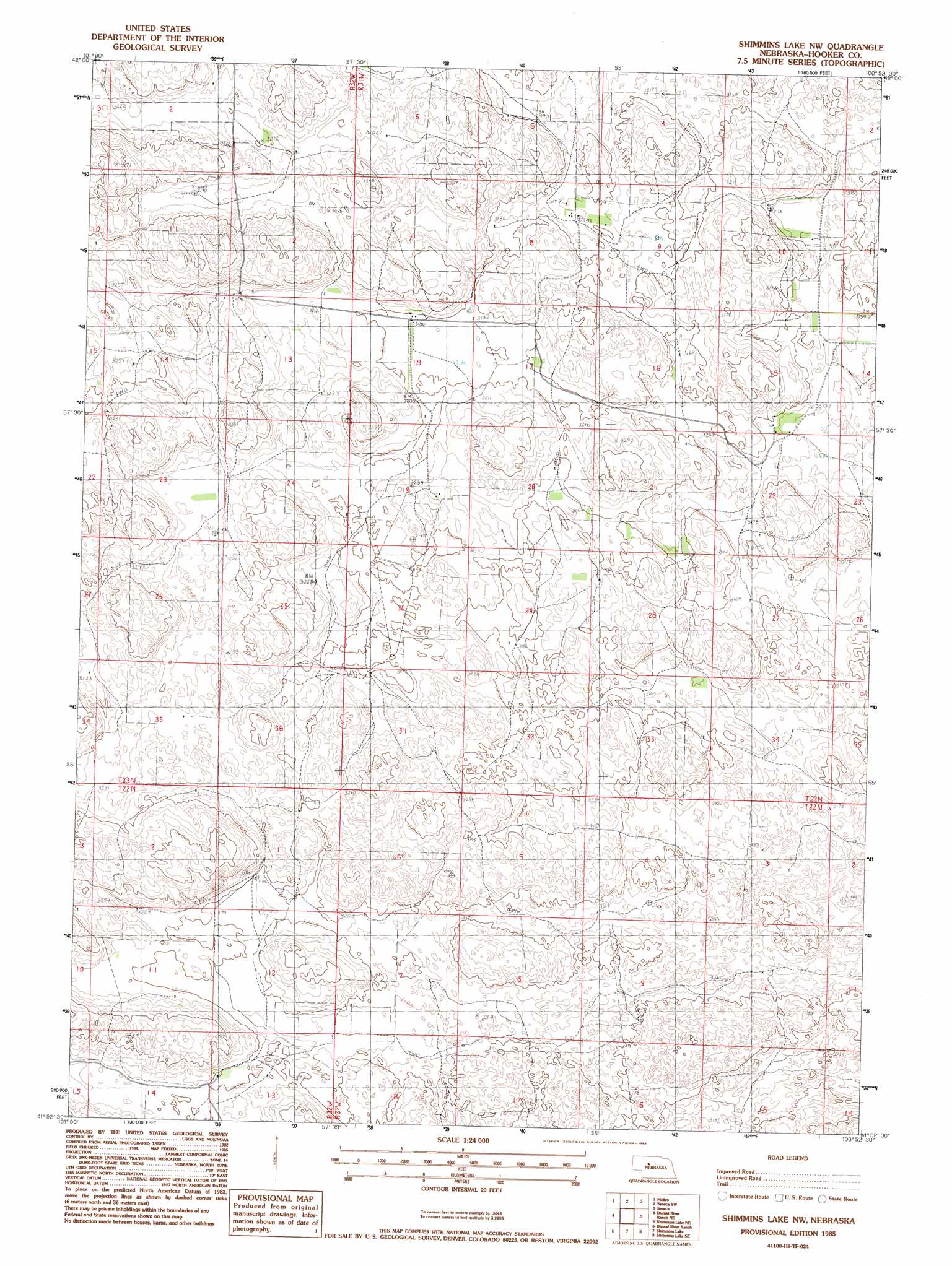
USGS Topo Quad 41100h8 - 1:24,000 scale
| Topo Map Name: | Shimmins Lake Nw |
| USGS Topo Quad ID: | 41100h8 |
| Print Size: | ca. 21 1/4" wide x 27" high |
| Southeast Coordinates: | 41.875° N latitude / 100.875° W longitude |
| Map Center Coordinates: | 41.9375° N latitude / 100.9375° W longitude |
| U.S. State: | NE |
| Filename: | O41100h8.jpg |
| Download Map JPG Image: | Shimmins Lake Nw topo map 1:24,000 scale |
| Map Type: | Topographic |
| Topo Series: | 7.5´ |
| Map Scale: | 1:24,000 |
| Source of Map Images: | United States Geological Survey (USGS) |
| Alternate Map Versions: |
Shimmins Lake NW NE 1985, updated 1986 Download PDF Buy paper map Shimmins Lake NW NE 2011 Download PDF Buy paper map Shimmins Lake NW NE 2014 Download PDF Buy paper map |
1:24,000 Topo Quads surrounding Shimmins Lake Nw
Mullen Nw |
Mullen Ne |
Barnet Valley |
Rose Valley |
Duck Lake |
Hecla |
Mullen |
Seneca Sw |
Seneca |
Duck Lake Sw |
Dismal River Ranch Nw |
Dismal River Ranch Ne |
Shimmins Lake Nw |
Shimmins Lake Ne |
Norway |
Dismal River Ranch Sw |
Dismal River Ranch |
Shimmins Lake |
Shimmins Lake Se |
Thedford Sw |
Wright Valley |
Wright Valley Ne |
Tryon Nw |
Tryon Ne |
Cody Lake Nw |
> Back to 41100e1 at 1:100,000 scale
> Back to 41100a1 at 1:250,000 scale
> Back to U.S. Topo Maps home
No gazetteer data is available for the Shimmins Lake Nw topo map sheet.
Shimmins Lake Nw digital topo map on disk
Buy this Shimmins Lake Nw topo map showing relief, roads, GPS coordinates and other geographical features, as a high-resolution digital map file on DVD: