Sparks Se Topo Map Nebraska
To zoom in, hover over the map of Sparks Se
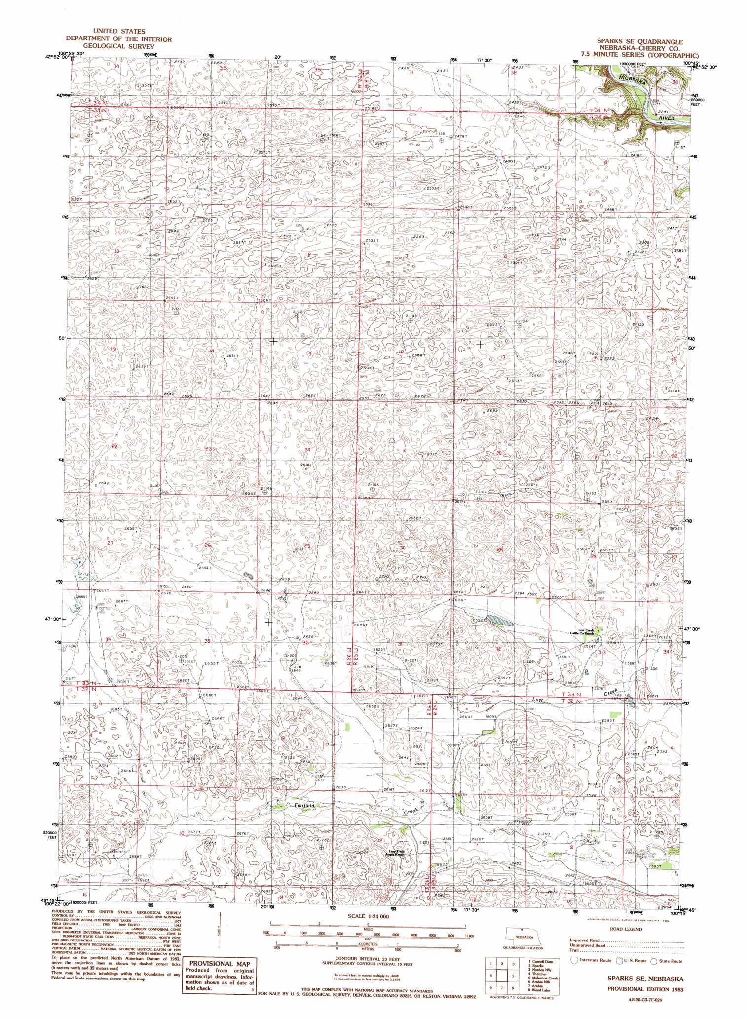
USGS Topo Quad 42100g3 - 1:24,000 scale
| Topo Map Name: | Sparks Se |
| USGS Topo Quad ID: | 42100g3 |
| Print Size: | ca. 21 1/4" wide x 27" high |
| Southeast Coordinates: | 42.75° N latitude / 100.25° W longitude |
| Map Center Coordinates: | 42.8125° N latitude / 100.3125° W longitude |
| U.S. State: | NE |
| Filename: | O42100g3.jpg |
| Download Map JPG Image: | Sparks Se topo map 1:24,000 scale |
| Map Type: | Topographic |
| Topo Series: | 7.5´ |
| Map Scale: | 1:24,000 |
| Source of Map Images: | United States Geological Survey (USGS) |
| Alternate Map Versions: |
Sparks SE NE 1983, updated 1984 Download PDF Buy paper map Sparks SE NE 2011 Download PDF Buy paper map Sparks SE NE 2014 Download PDF Buy paper map |
1:24,000 Topo Quads surrounding Sparks Se
Olsonville Se |
Littleburg |
Hidden Timber Se |
Keyapaha |
Keyapaha Se |
Valentine North |
Cornell Dam |
Sparks |
Norden Nw |
Haford Lake |
Valentine South |
Thatcher |
Sparks Se |
Muleshoe Creek |
Norden |
Ell Lake |
Arabia Nw |
Arabia |
Wood Lake |
Wood Lake Ne |
Willow Lake |
Arabia Sw |
Arabia Se |
Brush Creek |
Johnstown |
> Back to 42100e1 at 1:100,000 scale
> Back to 42100a1 at 1:250,000 scale
> Back to U.S. Topo Maps home
No gazetteer data is available for the Sparks Se topo map sheet.
Sparks Se digital topo map on disk
Buy this Sparks Se topo map showing relief, roads, GPS coordinates and other geographical features, as a high-resolution digital map file on DVD: