Mineral Center East ??? Topo Map Minnesota
To zoom in, hover over the map of Mineral Center East ???
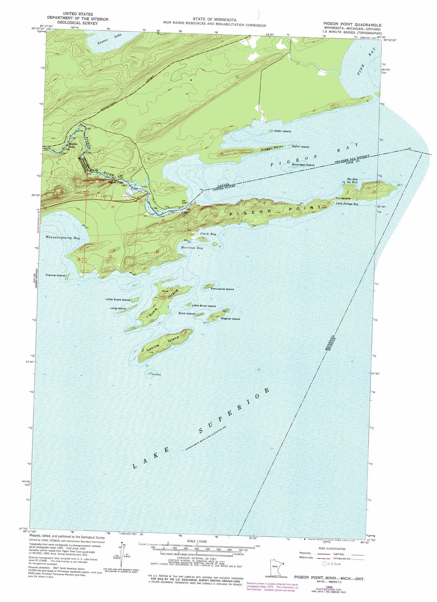
USGS Topo Quad 47089h5 - 1:24,000 scale
| Topo Map Name: | Mineral Center East ??? |
| USGS Topo Quad ID: | 47089h5 |
| Print Size: | ca. 21 1/4" wide x 27" high |
| Southeast Coordinates: | 47.875° N latitude / 89.5° W longitude |
| Map Center Coordinates: | 47.9375° N latitude / 89.5625° W longitude |
| U.S. States: | MN, MI |
| Filename: | o47089h5.jpg |
| Download Map JPG Image: | Mineral Center East ??? topo map 1:24,000 scale |
| Map Type: | Topographic |
| Topo Series: | 7.5´ |
| Map Scale: | 1:24,000 |
| Source of Map Images: | United States Geological Survey (USGS) |
| Alternate Map Versions: |
Pigeon Point MN 2011 Download PDF Buy paper map Pigeon Point MN 2013 Download PDF Buy paper map Pigeon Point MN 2016 Download PDF Buy paper map |
1:24,000 Topo Quads surrounding Mineral Center East ???
The Cascades |
||||
Mineral Center |
Mineral Center East |
Mineral Center East ??? |
||
> Back to 47089e1 at 1:100,000 scale
> Back to 47088a1 at 1:250,000 scale
> Back to U.S. Topo Maps home
Mineral Center East ??? topo map: Gazetteer
Mineral Center East ???: Bays
Clark Bay elevation 183m 600′Morrison Bay elevation 183m 600′
Mineral Center East ???: Capes
Pigeon Point elevation 215m 705′Mineral Center East ???: Islands
Brick Island elevation 186m 610′Francis Island elevation 183m 600′
Gull Rock elevation 183m 600′
Little Brick Island elevation 183m 600′
Little Susie Island elevation 188m 616′
Long Island elevation 187m 613′
Lucille Island elevation 201m 659′
Magnet Island elevation 192m 629′
Porcupine Island elevation 195m 639′
Susie Island elevation 190m 623′
Mineral Center East ???: Streams
Pigeon River elevation 190m 623′Mineral Center East ??? digital topo map on disk
Buy this Mineral Center East ??? topo map showing relief, roads, GPS coordinates and other geographical features, as a high-resolution digital map file on DVD: