Lansford Nw Topo Map North Dakota
To zoom in, hover over the map of Lansford Nw
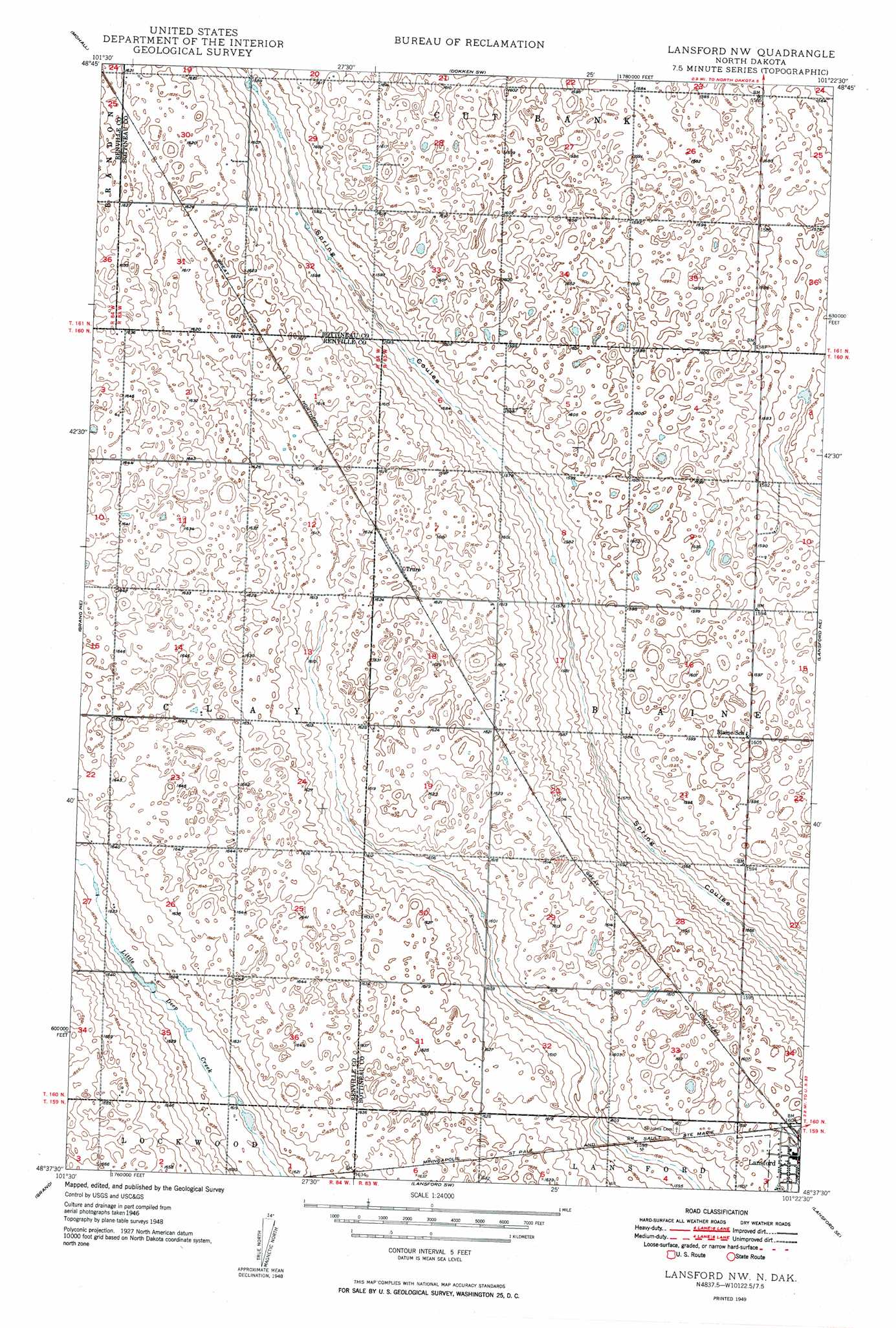
USGS Topo Quad 48101f4 - 1:24,000 scale
| Topo Map Name: | Lansford Nw |
| USGS Topo Quad ID: | 48101f4 |
| Print Size: | ca. 21 1/4" wide x 27" high |
| Southeast Coordinates: | 48.625° N latitude / 101.375° W longitude |
| Map Center Coordinates: | 48.6875° N latitude / 101.4375° W longitude |
| U.S. State: | ND |
| Filename: | O48101F4.jpg |
| Download Map JPG Image: | Lansford Nw topo map 1:24,000 scale |
| Map Type: | Topographic |
| Topo Series: | 7.5´ |
| Map Scale: | 1:24,000 |
| Source of Map Images: | United States Geological Survey (USGS) |
| Alternate Map Versions: |
Lansford NW ND 1949, updated 1949 Download PDF Buy paper map Lansford NW ND 2011 Download PDF Buy paper map Lansford NW ND 2014 Download PDF Buy paper map |
1:24,000 Topo Quads surrounding Lansford Nw
Sherwood |
Mohall Ne |
Antler Nw |
Antler |
Kuroki |
Mohall Sw |
Mohall |
Antler Sw |
Renville |
Westhope Sw |
Greene |
Grano Ne |
Lansford Nw |
Lansford Ne |
Maxbass |
Grano Sw |
Grano |
Lansford Sw |
Lansford Se |
Glenburn |
Carpio |
Carpio Ne |
Burlington Nw |
Burlington Ne |
Deering Nw |
> Back to 48101e1 at 1:100,000 scale
> Back to 48100a1 at 1:250,000 scale
> Back to U.S. Topo Maps home
Lansford Nw digital topo map on disk
Buy this Lansford Nw topo map showing relief, roads, GPS coordinates and other geographical features, as a high-resolution digital map file on DVD:
Eastern North Dakota & Eastern South Dakota
Buy digital topo maps: Eastern North Dakota & Eastern South Dakota