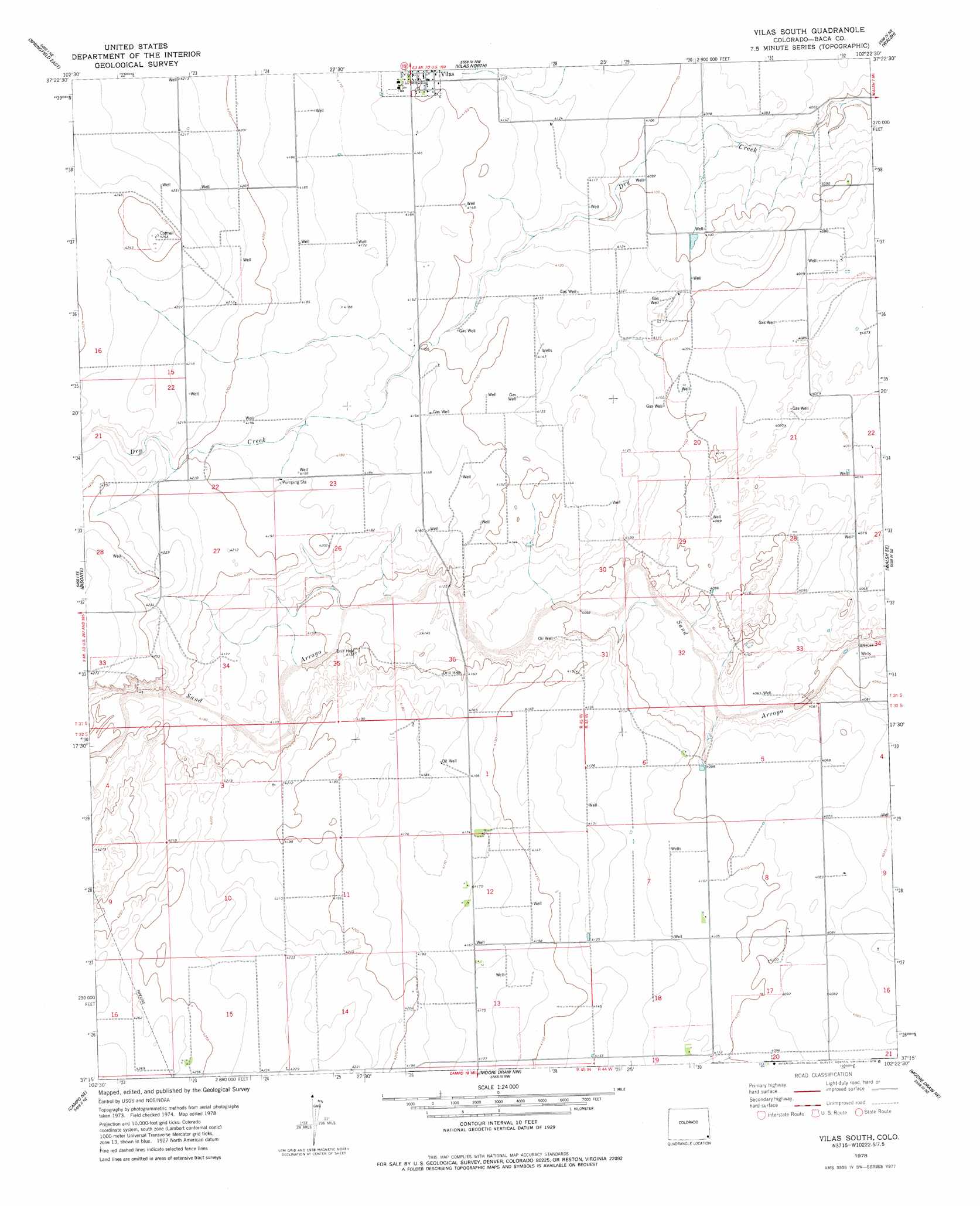
Vilas South Topo Map Colorado
To zoom in, hover over the map of Vilas South
USGS Topo Quad 37102c4 - 1:24,000 scale
| Topo Map Name: | Vilas South |
| USGS Topo Quad ID: | 37102c4 |
| Print Size: | ca. 21 1/4" wide x 27" high |
| Southeast Coordinates: | 37.25° N latitude / 102.375° W longitude |
| Map Center Coordinates: | 37.3125° N latitude / 102.4375° W longitude |
| U.S. State: | CO |
| Filename: | o37102c4.jpg |
| Download Map JPG Image: | Vilas South topo map 1:24,000 scale |
| Map Type: | Topographic |
| Topo Series: | 7.5´ |
| Map Scale: | 1:24,000 |
| Source of Map Images: | United States Geological Survey (USGS) |
| Alternate Map Versions: |
Vilas South CO 1978, updated 1979 Download PDF Buy paper map Vilas South CO 1996, updated 2000 Download PDF Buy paper map Vilas South CO 2011 Download PDF Buy paper map Vilas South CO 2013 Download PDF Buy paper map Vilas South CO 2016 Download PDF Buy paper map |
| FStopo: | US Forest Service topo Vilas South is available: Download FStopo PDF Download FStopo TIF |
1:24,000 Topo Quads surrounding Vilas South
Big Rock Grange |
Horse Creek Springs |
Two Buttes |
Two Buttes Se |
Lycan |
Springfield West |
Springfield East |
Vilas North |
Walsh |
Bartlett |
Springfield Sw |
Bisonte |
Vilas South |
Walsh Se |
Stonington |
Campo Nw |
Campo Ne |
Moore Draw Nw |
Moore Draw Ne |
Midway |
Campo Sw |
Campo |
Moore Draw Sw |
Moore Draw Se |
Midway Sw |
> Back to 37102a1 at 1:100,000 scale
> Back to 37102a1 at 1:250,000 scale
> Back to U.S. Topo Maps home
Vilas South digital topo map on disk
Buy this Vilas South topo map showing relief, roads, GPS coordinates and other geographical features, as a high-resolution digital map file on DVD: