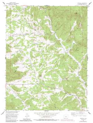
Tarryall Topo Map Colorado
To zoom in, hover over the map of Tarryall
USGS Topo Quad 39105a4 - 1:24,000 scale
| Topo Map Name: | Tarryall |
| USGS Topo Quad ID: | 39105a4 |
| Print Size: | ca. 21 1/4" wide x 27" high |
| Southeast Coordinates: | 39° N latitude / 105.375° W longitude |
| Map Center Coordinates: | 39.0625° N latitude / 105.4375° W longitude |
| U.S. State: | CO |
| Filename: | o39105a4.jpg |
| Download Map JPG Image: | Tarryall topo map 1:24,000 scale |
| Map Type: | Topographic |
| Topo Series: | 7.5´ |
| Map Scale: | 1:24,000 |
| Source of Map Images: | United States Geological Survey (USGS) |
| Alternate Map Versions: |
Tarryall CO 1956, updated 1957 Download PDF Buy paper map Tarryall CO 1956, updated 1960 Download PDF Buy paper map Tarryall CO 1956, updated 1973 Download PDF Buy paper map Tarryall CO 1956, updated 1985 Download PDF Buy paper map Tarryall CO 1994, updated 1998 Download PDF Buy paper map Tarryall CO 2011 Download PDF Buy paper map Tarryall CO 2013 Download PDF Buy paper map Tarryall CO 2016 Download PDF Buy paper map |
| FStopo: | US Forest Service topo Tarryall is available: Download FStopo PDF Download FStopo TIF |
1:24,000 Topo Quads surrounding Tarryall
> Back to 39105a1 at 1:100,000 scale
> Back to 39104a1 at 1:250,000 scale
> Back to U.S. Topo Maps home
Tarryall topo map: Gazetteer
Tarryall: Airports
Badger Flats Airstrip elevation 2688m 8818′Tarryall: Mines
A and C Claim Mine elevation 2676m 8779′Boomer Mine elevation 2613m 8572′
Hazel Marie Claims Mine elevation 2635m 8645′
Hill Top Claims Mine elevation 2582m 8471′
Mary B Mine elevation 2689m 8822′
Mary Lee Prospect Mine elevation 2591m 8500′
Redskin Claims Mine elevation 2532m 8307′
Round Mountain Claims Mine elevation 2622m 8602′
Saint Joe Tunnel elevation 2832m 9291′
Shamrock-Irish Group Mine elevation 2611m 8566′
Tarryall Creek Mine elevation 2654m 8707′
Wheel of Fortune Mine elevation 2549m 8362′
Tarryall: Populated Places
Tarryall elevation 2656m 8713′Tarryall: Ridges
China Wall elevation 2678m 8786′Tarryall: Springs
Badger Spring elevation 2695m 8841′Tarryall: Streams
Beaver Dam Creek elevation 2561m 8402′East Fork Beaver Dam Creek elevation 2562m 8405′
Reader Creek elevation 2556m 8385′
Tarryall: Summits
Pilot Peak elevation 3229m 10593′Round Mountain elevation 2752m 9028′
Round Mountain elevation 2601m 8533′
Tappan Mountain elevation 2724m 8937′
Tarryall: Valleys
Alexander Draw elevation 2576m 8451′Badger Gulch elevation 2517m 8257′
Marksbury Gulch elevation 2526m 8287′
O'Brien Gulch elevation 2516m 8254′
Redskin Gulch elevation 2524m 8280′
Spud Gulch elevation 2532m 8307′
Thorpe Gulch elevation 2588m 8490′
Tarryall digital topo map on disk
Buy this Tarryall topo map showing relief, roads, GPS coordinates and other geographical features, as a high-resolution digital map file on DVD:


