Williams Ranch Topo Map Nebraska
To zoom in, hover over the map of Williams Ranch
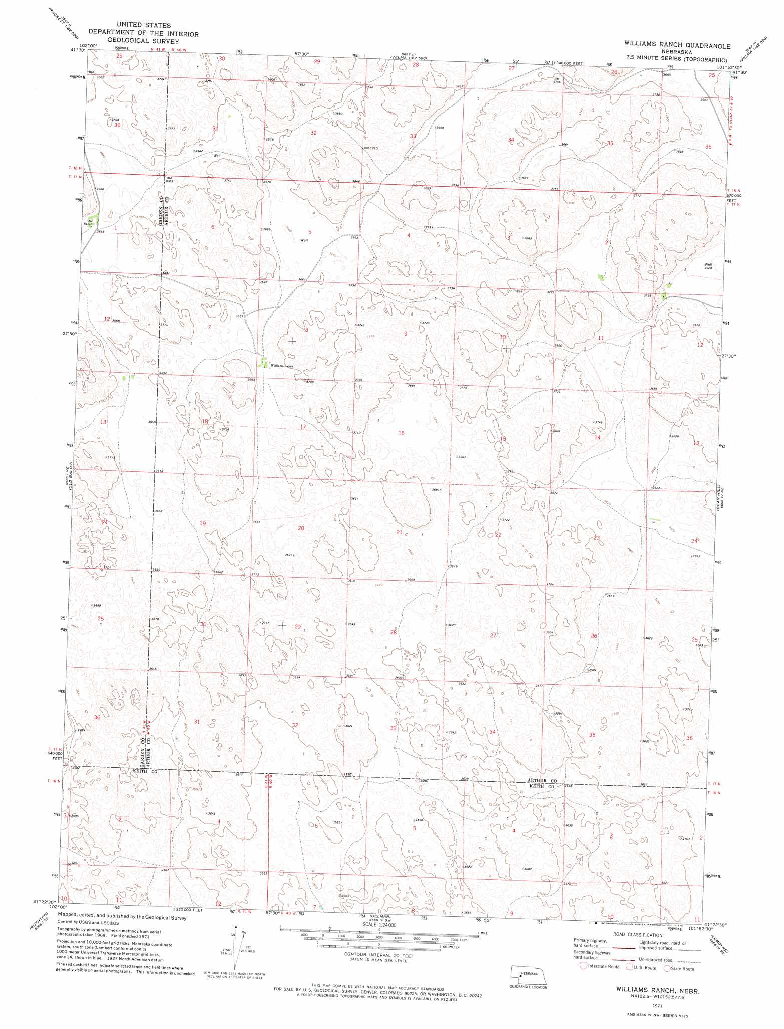
USGS Topo Quad 41101d8 - 1:24,000 scale
| Topo Map Name: | Williams Ranch |
| USGS Topo Quad ID: | 41101d8 |
| Print Size: | ca. 21 1/4" wide x 27" high |
| Southeast Coordinates: | 41.375° N latitude / 101.875° W longitude |
| Map Center Coordinates: | 41.4375° N latitude / 101.9375° W longitude |
| U.S. State: | NE |
| Filename: | O41101d8.jpg |
| Download Map JPG Image: | Williams Ranch topo map 1:24,000 scale |
| Map Type: | Topographic |
| Topo Series: | 7.5´ |
| Map Scale: | 1:24,000 |
| Source of Map Images: | United States Geological Survey (USGS) |
| Alternate Map Versions: |
Williams Ranch NE 1971, updated 1974 Download PDF Buy paper map Williams Ranch NE 2011 Download PDF Buy paper map Williams Ranch NE 2014 Download PDF Buy paper map |
1:24,000 Topo Quads surrounding Williams Ranch
Rackett |
Well Valley |
Bourquim Hill |
Jensen Lake |
K C Lake |
Gusher Spring |
Rackett Se |
Velma Sw |
Hulbert Lake |
Arthur |
Twin Buttes |
Old Baldy |
Williams Ranch |
Bear Hill |
Packard Ranch |
Lewellen |
Ruthton |
Belmar |
Lemoyne |
Martin |
Big Springs Nw |
Big Springs Ne |
Brule Nw |
Brule Ne |
Ogallala |
> Back to 41101a1 at 1:100,000 scale
> Back to 41100a1 at 1:250,000 scale
> Back to U.S. Topo Maps home
No gazetteer data is available for the Williams Ranch topo map sheet.
Williams Ranch digital topo map on disk
Buy this Williams Ranch topo map showing relief, roads, GPS coordinates and other geographical features, as a high-resolution digital map file on DVD: