Zeona Ne Topo Map South Dakota
To zoom in, hover over the map of Zeona Ne
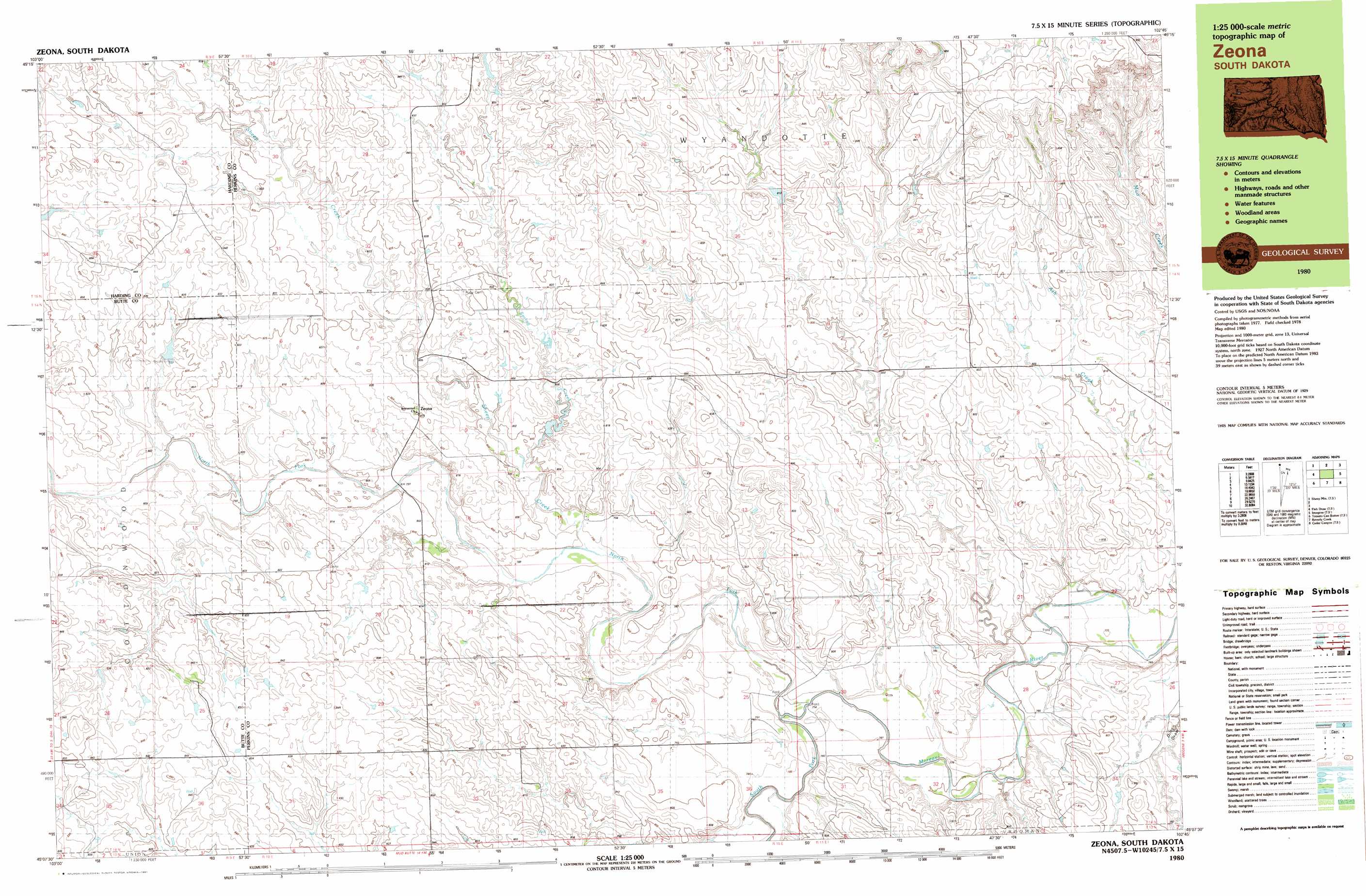
USGS Topo Quad 45102b7 - 1:25,000 scale
| Topo Map Name: | Zeona Ne |
| USGS Topo Quad ID: | 45102b7 |
| Print Size: | ca. 39" wide x 24" high |
| Southeast Coordinates: | 45.125° N latitude / 102.75° W longitude |
| Map Center Coordinates: | 45.1875° N latitude / 102.875° W longitude |
| U.S. State: | SD |
| Filename: | k45102b7.jpg |
| Download Map JPG Image: | Zeona Ne topo map 1:25,000 scale |
| Map Type: | Topographic |
| Topo Series: | 7.5´x15´ |
| Map Scale: | 1:25,000 |
| Source of Map Images: | United States Geological Survey (USGS) |
| Alternate Map Versions: |
Zeona SD 1980, updated 1981 Download PDF Buy paper map |
1:24,000 Topo Quads surrounding Zeona Ne
Flat Top Butte |
Sorum |
Sorum Ne |
Daviston |
Date Ne |
Sheep Mountain |
Sorum Sw |
Sorum Se |
Date |
Rabbit Butte |
Fish Draw |
Zeona Ne |
Imogene |
Bixby |
|
Tomato Can Buttes |
Beverly Creek |
Cedar Canyon |
Maurine |
|
Owl Butte Ne |
Camp Creek |
Frozen Man Creek |
Squaw Buttes |
Opal West |
> Back to 45102a1 at 1:100,000 scale
> Back to 45102a1 at 1:250,000 scale
> Back to U.S. Topo Maps home
Zeona Ne topo map: Gazetteer
Zeona Ne: Dams
Leland Edwards Dam elevation 849m 2785′Miller Brothers Dam elevation 814m 2670′
Miller Brothers Dam elevation 813m 2667′
State of South Dakota Dam elevation 820m 2690′
Zeona Ne: Populated Places
Zeona elevation 819m 2687′Zeona Ne: Streams
Ash Creek elevation 815m 2673′North Fork Moreau River elevation 780m 2559′
Sheep Creek elevation 791m 2595′
South Fork Moreau River elevation 780m 2559′
Zeona Ne digital topo map on disk
Buy this Zeona Ne topo map showing relief, roads, GPS coordinates and other geographical features, as a high-resolution digital map file on DVD:
Eastern Montana & Western North Dakota
Buy digital topo maps: Eastern Montana & Western North Dakota