Skull Lake Ne Topo Map Minnesota
To zoom in, hover over the map of Skull Lake Ne
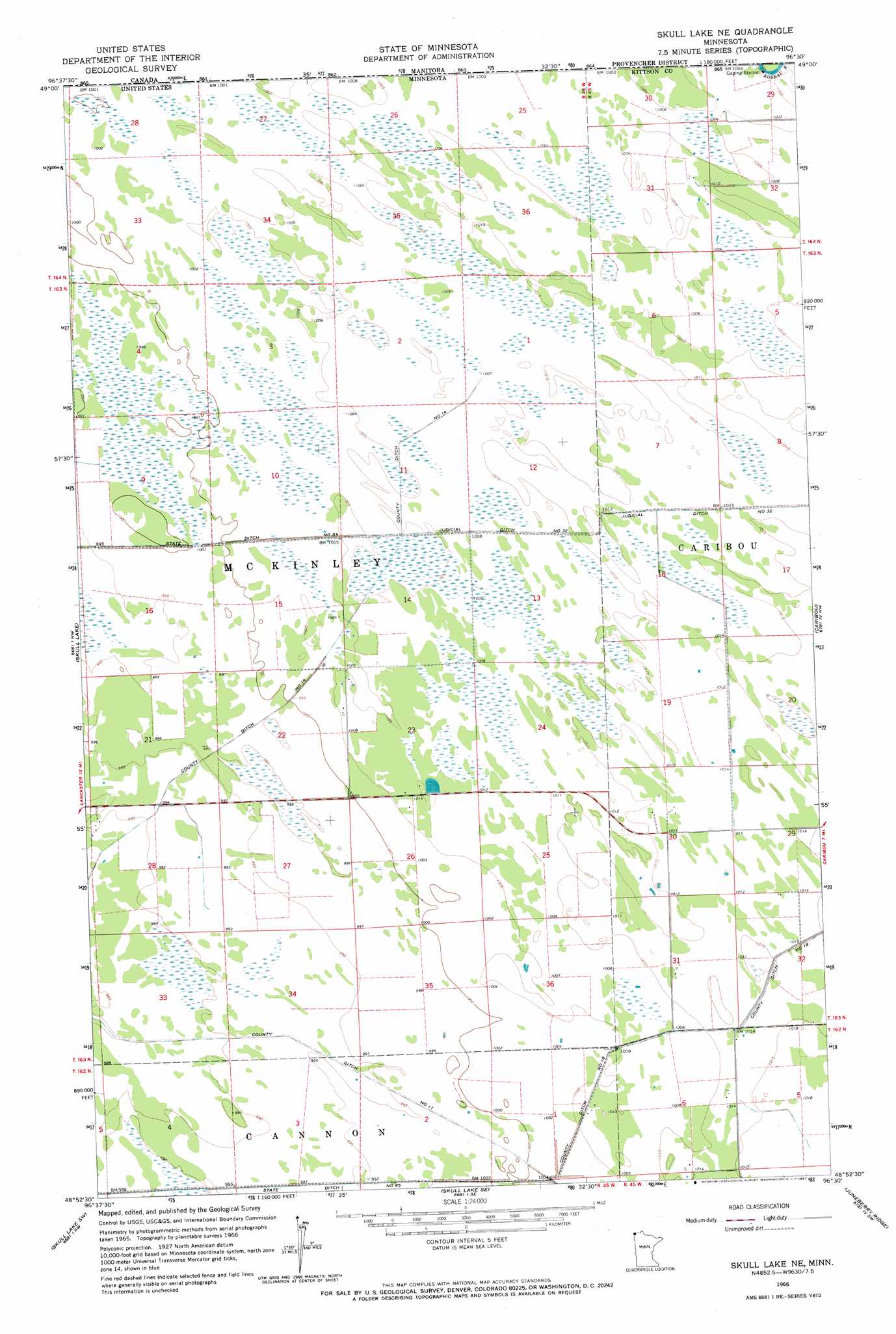
USGS Topo Quad 48096h5 - 1:24,000 scale
| Topo Map Name: | Skull Lake Ne |
| USGS Topo Quad ID: | 48096h5 |
| Print Size: | ca. 21 1/4" wide x 27" high |
| Southeast Coordinates: | 48.875° N latitude / 96.5° W longitude |
| Map Center Coordinates: | 48.9375° N latitude / 96.5625° W longitude |
| U.S. State: | MN |
| Filename: | o48096h5.jpg |
| Download Map JPG Image: | Skull Lake Ne topo map 1:24,000 scale |
| Map Type: | Topographic |
| Topo Series: | 7.5´ |
| Map Scale: | 1:24,000 |
| Source of Map Images: | United States Geological Survey (USGS) |
| Alternate Map Versions: |
Skull Lake NE MN 1966, updated 1967 Download PDF Buy paper map Skull Lake NE MN 2011 Download PDF Buy paper map Skull Lake NE MN 2013 Download PDF Buy paper map Skull Lake NE MN 2016 Download PDF Buy paper map |
1:24,000 Topo Quads surrounding Skull Lake Ne
Hallock Ne |
Skull Lake |
Skull Lake Ne |
Caribou |
Caribou Ne |
Lancaster |
Skull Lake Sw |
Skull Lake Se |
Juneberry Ridge |
Leo |
Enok |
Lake Bronson |
Halma |
Pelan |
Pelan Ne |
> Back to 48096e1 at 1:100,000 scale
> Back to 48096a1 at 1:250,000 scale
> Back to U.S. Topo Maps home
Skull Lake Ne topo map: Gazetteer
Skull Lake Ne: Canals
County Ditch Number Eighteen elevation 308m 1010′County Ditch Number Eleven elevation 304m 997′
County Ditch Number Fourteen elevation 305m 1000′
State Ditch Number Eightyfive elevation 301m 987′
Skull Lake Ne digital topo map on disk
Buy this Skull Lake Ne topo map showing relief, roads, GPS coordinates and other geographical features, as a high-resolution digital map file on DVD:
Eastern North Dakota & Eastern South Dakota
Buy digital topo maps: Eastern North Dakota & Eastern South Dakota