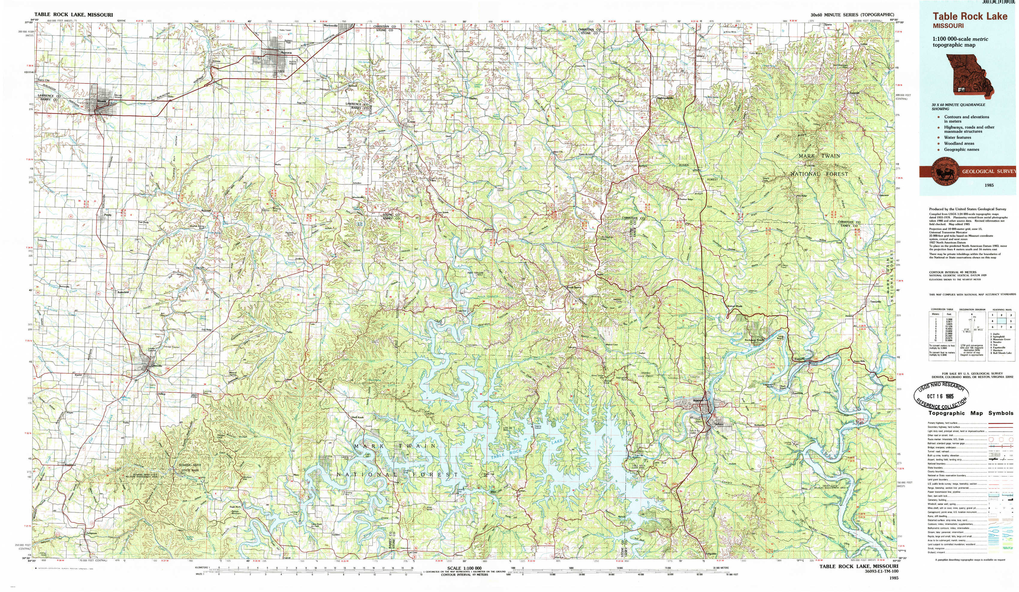
Table Rock Lake Topo Map Missouri
To zoom in, hover over the map of Table Rock Lake
USGS Topo Map 36093e1 - 1:100,000 scale
| Topo Map Name: | Table Rock Lake |
| USGS Topo Quad ID: | 36093e1 |
| Print Size: | ca. 39" wide x 24" high |
| Southeast Coordinates: | 36.5° N latitude / 93° W longitude |
| Map Center Coordinates: | 36.75° N latitude / 93.5° W longitude |
| U.S. State: | MO |
| Filename: | 36093e1.jpg |
| Download Map JPG Image: | Table Rock Lake topo map 1:100,000 scale |
| Map Type: | Topographic |
| Topo Series: | 30´x60´ |
| Map Scale: | 1:100,000 |
| Source of Map Images: | United States Geological Survey (USGS) |
| Alternate Map Versions: |
Table Rock Lake MO 1985, updated 1985 Download PDF Buy paper map |
1:100,000 Topos surrounding Table Rock Lake
Joplin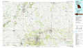 |
Springfield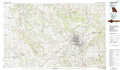 |
Mountain Grove |
Neosho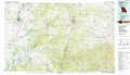 |
Table Rock Lake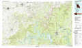 |
Ava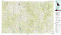 |
Fayetteville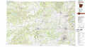 |
Harrison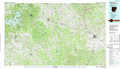 |
Bull Shoals Lake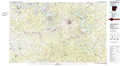 |
> Back to 36092a1 at 1:250,000 scale
> Back to U.S. Topo Maps home
1:24,000 Topo Quads covered by the spatial extent of this 100k map (Table Rock Lake)
|
Monett 
|
Verona 
|
Aurora 
|
Crane 
|
Hurley 
|
Highlandville 
|
Selmore 
|
Chadwick 
|
|
Purdy 
|
Mcdowell 
|
Jenkins 
|
Elsey 
|
Galena 
|
Spokane 
|
Day 
|
Garrison 
|
|
Exeter 
|
Cassville 
|
Shell Knob 
|
Cape Fair 
|
Reeds Spring 
|
Garber 
|
Branson 
|
Forsyth 
|
|
Seligman 
|
Eagle Rock 
|
Golden 
|
Viola 
|
Lampe 
|
Table Rock Dam 
|
Hollister 
|
Mincy 
|