Mccoy Spring Topo Map California
To zoom in, hover over the map of Mccoy Spring
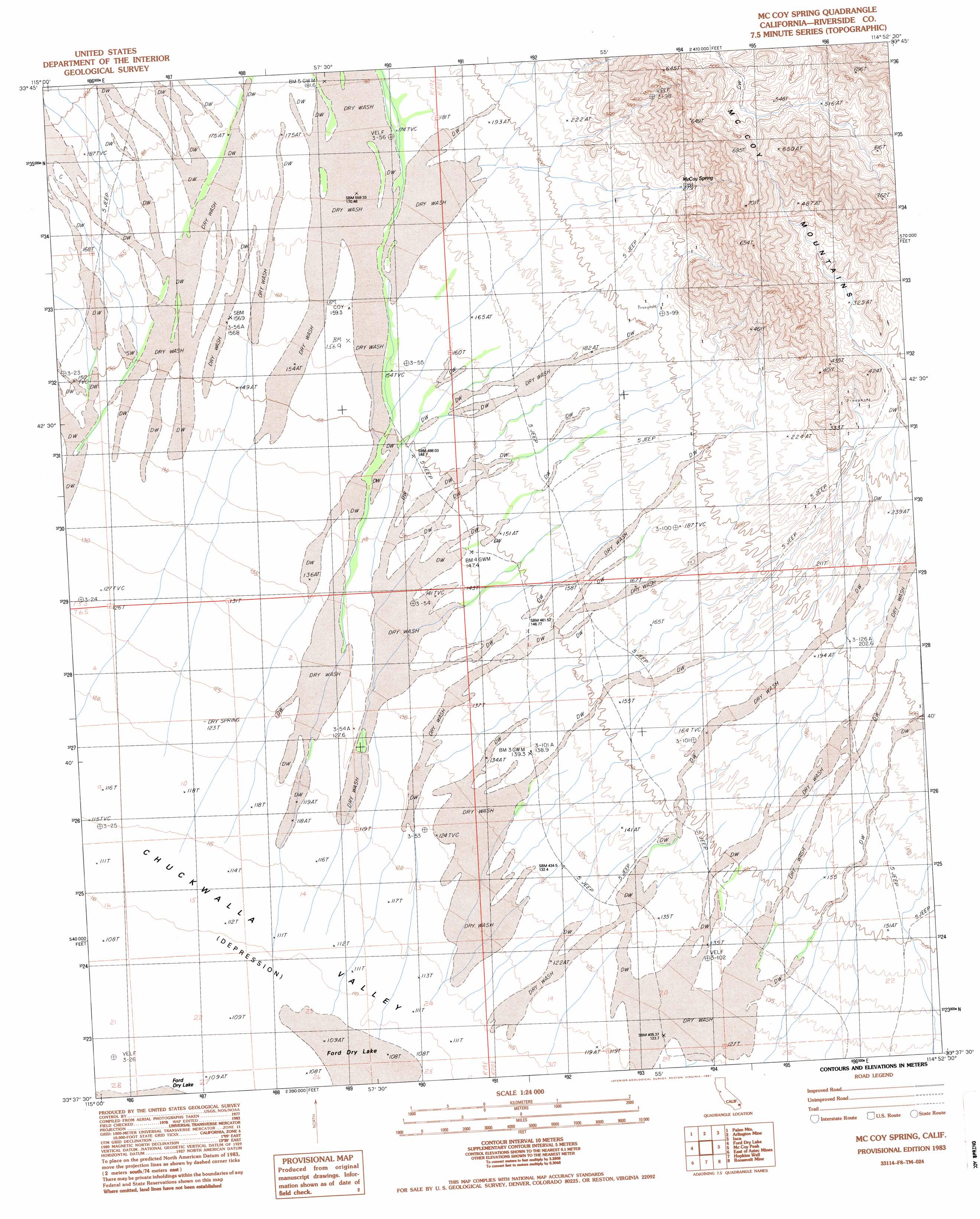
USGS Topo Quad 33114f8 - 1:24,000 scale
| Topo Map Name: | Mccoy Spring |
| USGS Topo Quad ID: | 33114f8 |
| Print Size: | ca. 21 1/4" wide x 27" high |
| Southeast Coordinates: | 33.625° N latitude / 114.875° W longitude |
| Map Center Coordinates: | 33.6875° N latitude / 114.9375° W longitude |
| U.S. State: | CA |
| Filename: | o33114f8.jpg |
| Download Map JPG Image: | Mccoy Spring topo map 1:24,000 scale |
| Map Type: | Topographic |
| Topo Series: | 7.5´ |
| Map Scale: | 1:24,000 |
| Source of Map Images: | United States Geological Survey (USGS) |
| Alternate Map Versions: |
McCoy Spring CA 1983, updated 1983 Download PDF Buy paper map McCoy Spring CA 1983, updated 1991 Download PDF Buy paper map McCoy Spring CA 2012 Download PDF Buy paper map McCoy Spring CA 2015 Download PDF Buy paper map |
1:24,000 Topo Quads surrounding Mccoy Spring
West Of Palen Pass |
Palen Pass |
Little Maria Mountains |
Styx |
Big Maria Mountains Nw |
Palen Lake |
Palen Mountains |
Arlington Mine |
Inca |
Big Maria Mountains Sw |
Sidewinder Well |
Ford Dry Lake |
Mccoy Spring |
Mccoy Peak |
Mccoy Wash |
Aztec Mines |
East Of Aztec Mines |
Hopkins Well |
Roosevelt Mine |
Ripley |
Chuckwalla Spring |
Little Chuckwalla Mountains |
Wileys Well |
Thumb Peak |
Palo Verde |
> Back to 33114e1 at 1:100,000 scale
> Back to 33114a1 at 1:250,000 scale
> Back to U.S. Topo Maps home
Mccoy Spring digital topo map on disk
Buy this Mccoy Spring topo map showing relief, roads, GPS coordinates and other geographical features, as a high-resolution digital map file on DVD: