Howard Reef Topo Map North Carolina
To zoom in, hover over the map of Howard Reef
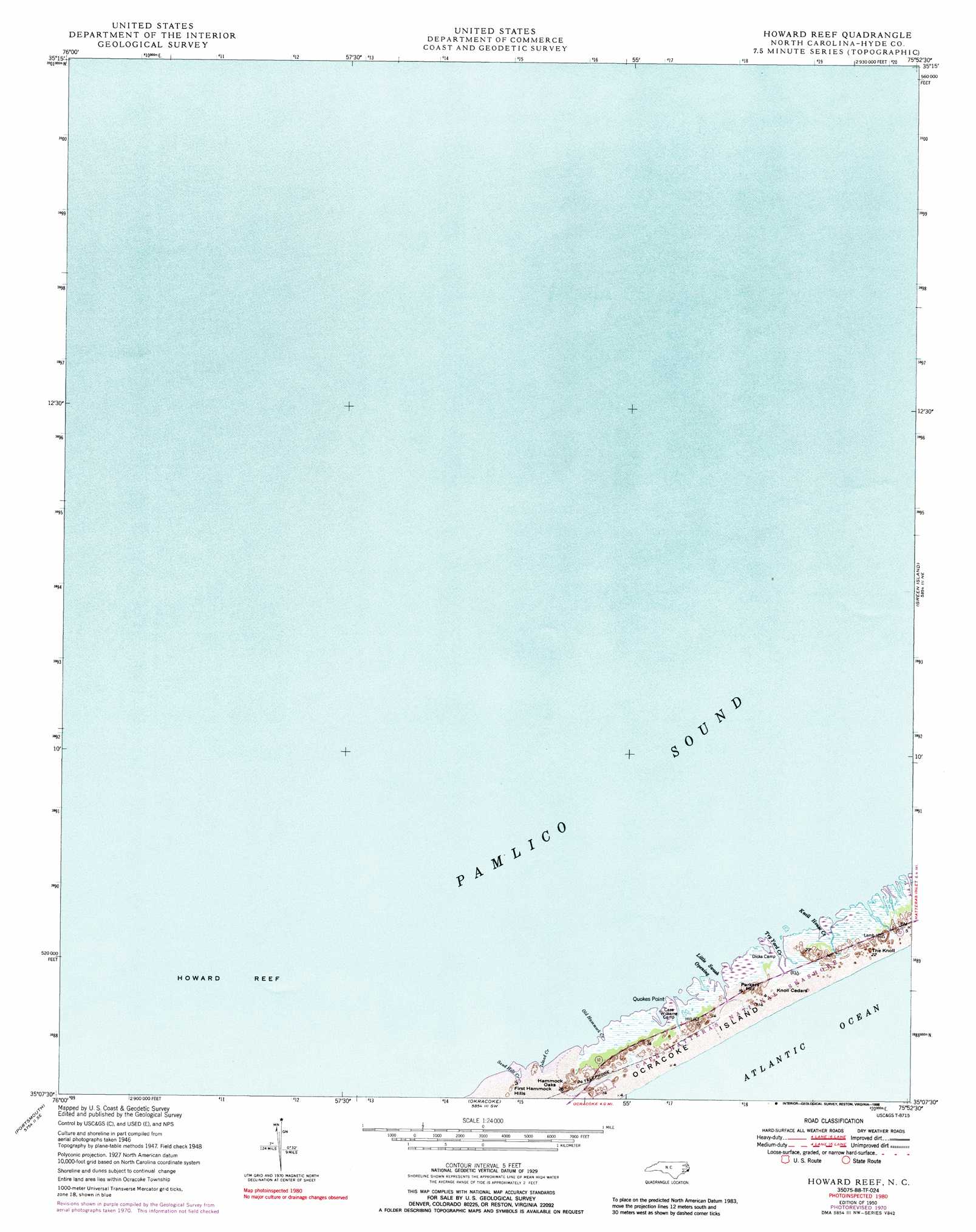
USGS Topo Quad 35075b8 - 1:24,000 scale
| Topo Map Name: | Howard Reef |
| USGS Topo Quad ID: | 35075b8 |
| Print Size: | ca. 21 1/4" wide x 27" high |
| Southeast Coordinates: | 35.125° N latitude / 75.875° W longitude |
| Map Center Coordinates: | 35.1875° N latitude / 75.9375° W longitude |
| U.S. State: | NC |
| Filename: | o35075b8.jpg |
| Download Map JPG Image: | Howard Reef topo map 1:24,000 scale |
| Map Type: | Topographic |
| Topo Series: | 7.5´ |
| Map Scale: | 1:24,000 |
| Source of Map Images: | United States Geological Survey (USGS) |
| Alternate Map Versions: |
Howard Reef NC 1950 Download PDF Buy paper map Howard Reef NC 1950, updated 1972 Download PDF Buy paper map Howard Reef NC 1950, updated 1988 Download PDF Buy paper map Howard Reef NC 2002, updated 2002 Download PDF Buy paper map Howard Reef NC 2011 Download PDF Buy paper map Howard Reef NC 2013 Download PDF Buy paper map Howard Reef NC 2016 Download PDF Buy paper map |
1:24,000 Topo Quads surrounding Howard Reef
New Holland |
Middletown Anchorage |
|||
Bluff Point |
Middletown |
|||
Howard Reef |
Green Island |
Hatteras |
||
Portsmouth |
Ocracoke |
|||
Atlantic East |
> Back to 35075a1 at 1:100,000 scale
> Back to 35074a1 at 1:250,000 scale
> Back to U.S. Topo Maps home
Howard Reef topo map: Gazetteer
Howard Reef: Areas
Hammock Oaks elevation 1m 3′Howard Reef: Bars
Clark Reef elevation 0m 0′Howard Reef elevation 0m 0′
Howard Reef: Bays
Little Swash Opening elevation 1m 3′Howard Reef: Capes
Quokes Point elevation 0m 0′Howard Reef: Channels
Big Foot Slough Channel elevation 0m 0′Howard Reef: Islands
Ocracoke Island elevation 2m 6′Howard Reef: Streams
Island Creek elevation 0m 0′Knoll House Creek elevation 0m 0′
Old Hammock Creek elevation 0m 0′
Sand Hole Creek elevation 0m 0′
Try Yard Creek elevation 0m 0′
Howard Reef: Summits
Knoll Cedars elevation 4m 13′Parkers Hill elevation 2m 6′
The Knoll elevation 4m 13′
Howard Reef digital topo map on disk
Buy this Howard Reef topo map showing relief, roads, GPS coordinates and other geographical features, as a high-resolution digital map file on DVD:
Atlantic Coast (NY, NJ, PA, DE, MD, VA, NC)
Buy digital topo maps: Atlantic Coast (NY, NJ, PA, DE, MD, VA, NC)
 map DVD")