Booker Sw Topo Map Texas
To zoom in, hover over the map of Booker Sw
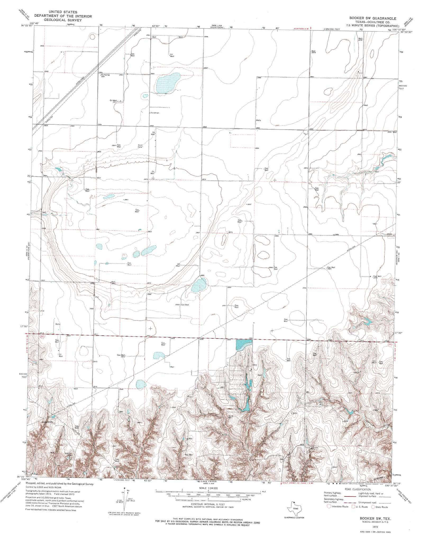
USGS Topo Quad 36100c6 - 1:24,000 scale
| Topo Map Name: | Booker Sw |
| USGS Topo Quad ID: | 36100c6 |
| Print Size: | ca. 21 1/4" wide x 27" high |
| Southeast Coordinates: | 36.25° N latitude / 100.625° W longitude |
| Map Center Coordinates: | 36.3125° N latitude / 100.6875° W longitude |
| U.S. State: | TX |
| Filename: | o36100c6.jpg |
| Download Map JPG Image: | Booker Sw topo map 1:24,000 scale |
| Map Type: | Topographic |
| Topo Series: | 7.5´ |
| Map Scale: | 1:24,000 |
| Source of Map Images: | United States Geological Survey (USGS) |
| Alternate Map Versions: |
Booker SW TX 1973, updated 1975 Download PDF Buy paper map Booker SW TX 2010 Download PDF Buy paper map Booker SW TX 2012 Download PDF Buy paper map Booker SW TX 2016 Download PDF Buy paper map |
1:24,000 Topo Quads surrounding Booker Sw
Bryans Corner Sw |
Bryans Corner |
Balko Sw |
Elmwood |
Clear Lake Sw |
Perryton Nw |
Perryton |
Huntoon |
Booker |
Gaylord |
Farnsworth |
Perryton Se |
Booker Sw |
Booker Se |
Twin Grove |
Sourdough Creek Nw |
Sourdough Creek Ne |
Lake Fryer |
Lake Fryer Ne |
Barton Corners |
Sourdough Creek Sw |
Sourdough Creek |
Pickett Ranch Creek |
Barton Creek |
Lipscomb Sw |
> Back to 36100a1 at 1:100,000 scale
> Back to 36100a1 at 1:250,000 scale
> Back to U.S. Topo Maps home
Booker Sw topo map: Gazetteer
Booker Sw: Dams
Wheatheart Feeders Lake Dam elevation 852m 2795′Booker Sw: Reservoirs
Wheatheart Feeders Lake elevation 852m 2795′Booker Sw digital topo map on disk
Buy this Booker Sw topo map showing relief, roads, GPS coordinates and other geographical features, as a high-resolution digital map file on DVD: