Russell Springs Topo Map Kansas
To zoom in, hover over the map of Russell Springs
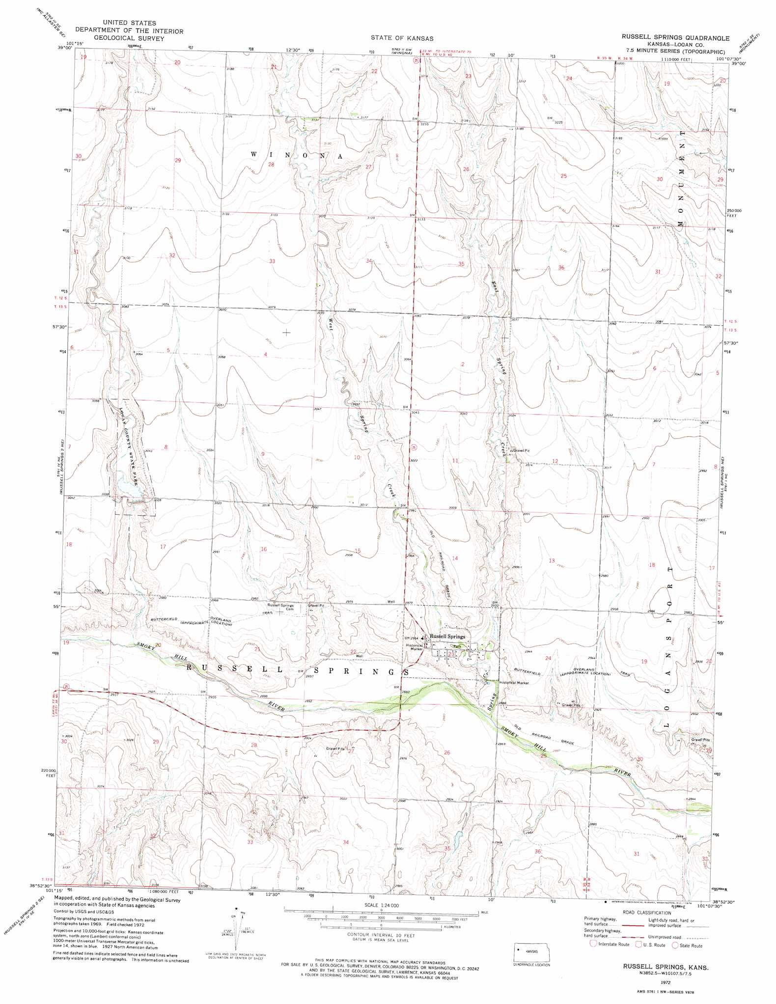
USGS Topo Quad 38101h2 - 1:24,000 scale
| Topo Map Name: | Russell Springs |
| USGS Topo Quad ID: | 38101h2 |
| Print Size: | ca. 21 1/4" wide x 27" high |
| Southeast Coordinates: | 38.875° N latitude / 101.125° W longitude |
| Map Center Coordinates: | 38.9375° N latitude / 101.1875° W longitude |
| U.S. State: | KS |
| Filename: | o38101h2.jpg |
| Download Map JPG Image: | Russell Springs topo map 1:24,000 scale |
| Map Type: | Topographic |
| Topo Series: | 7.5´ |
| Map Scale: | 1:24,000 |
| Source of Map Images: | United States Geological Survey (USGS) |
| Alternate Map Versions: |
Russell Springs KS 1972, updated 1974 Download PDF Buy paper map Russell Springs KS 2009 Download PDF Buy paper map Russell Springs KS 2012 Download PDF Buy paper map Russell Springs KS 2015 Download PDF Buy paper map |
1:24,000 Topo Quads surrounding Russell Springs
Mcallaster Nw |
Mcallaster Ne |
Winona Nw |
Winona Ne |
Spica |
Mcallaster |
Mcallaster Se |
Winona |
Monument |
Oakley Sw |
Russell Springs 2 Nw |
Russell Springs 2 Ne |
Russell Springs |
Russell Springs Ne |
Elkader Nw |
Russell Springs 2 Sw |
Russell Springs 2 Se |
Lone Butte |
Russell Springs Se |
Elkader Sw |
Russell Springs 3 Nw |
Russell Springs 3 Ne |
Pence Nw |
Pence |
Lake Scott |
> Back to 38101e1 at 1:100,000 scale
> Back to 38100a1 at 1:250,000 scale
> Back to U.S. Topo Maps home
Russell Springs topo map: Gazetteer
Russell Springs: Dams
Logan County State Lake Dam elevation 914m 2998′Russell Springs Dam elevation 886m 2906′
Russell Springs: Parks
Logan County State Park elevation 915m 3001′Logan State Fishing Lake and Wildlife Area elevation 915m 3001′
Russell Springs: Populated Places
Russell Springs elevation 904m 2965′Russell Springs: Streams
East Spring Creek elevation 880m 2887′Spring Creek elevation 872m 2860′
West Spring Creek elevation 880m 2887′
Russell Springs digital topo map on disk
Buy this Russell Springs topo map showing relief, roads, GPS coordinates and other geographical features, as a high-resolution digital map file on DVD: